
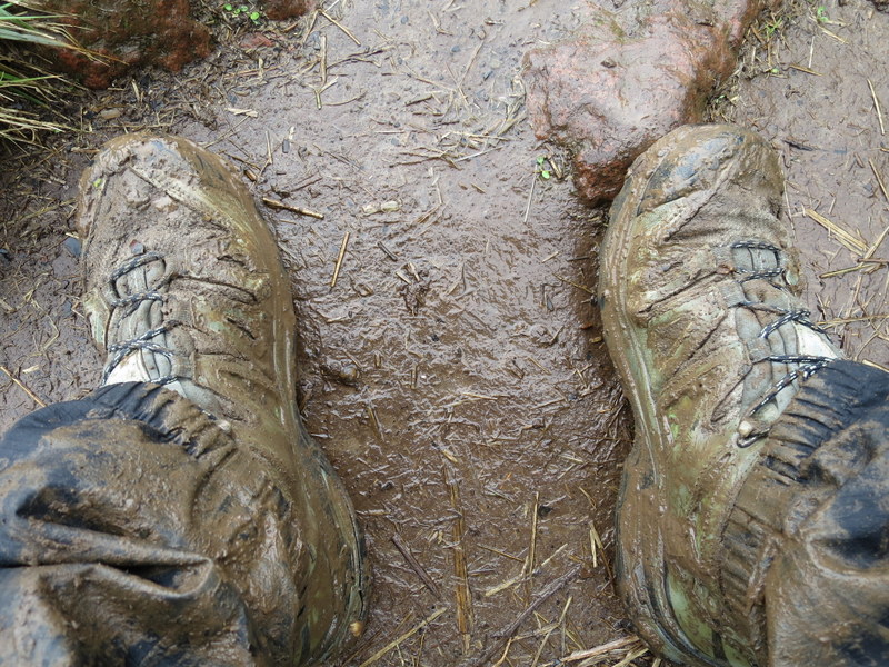
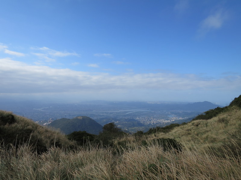
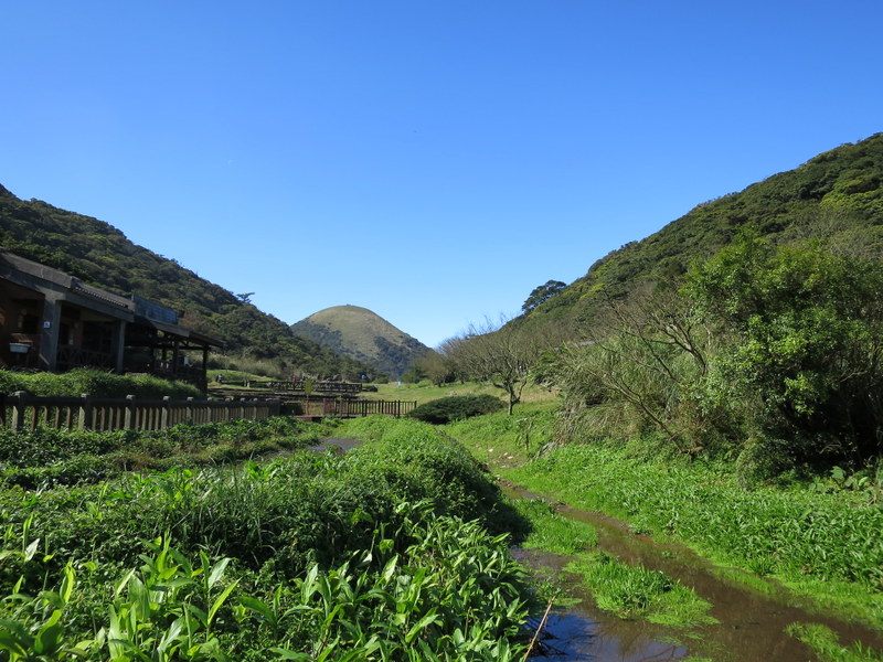
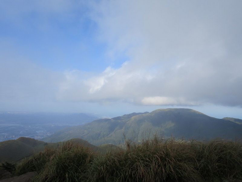
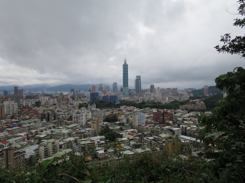
Rain, rain and more rain – and mud, such a great combination! Plenty of both to keep me wet and disgustingly dirty for a whole week. Hey, at least we had no wind, or at least not at the same time as the rain. We even had 3 whole days when there was no rain at all! Overcast maybe, cold, damp, and very wet underfoot, but rain, no. And there were even 2 days when the sun came out briefly and we had blue sky for a few minutes. Luxury! This is the only blue-sky view of Taipei City that I got, taken from Qixingshan 七星山, Day 3.
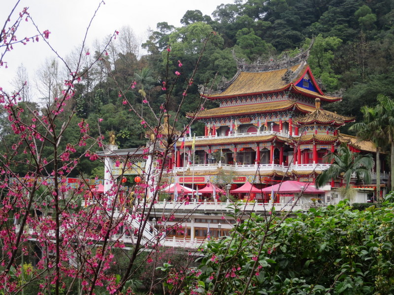
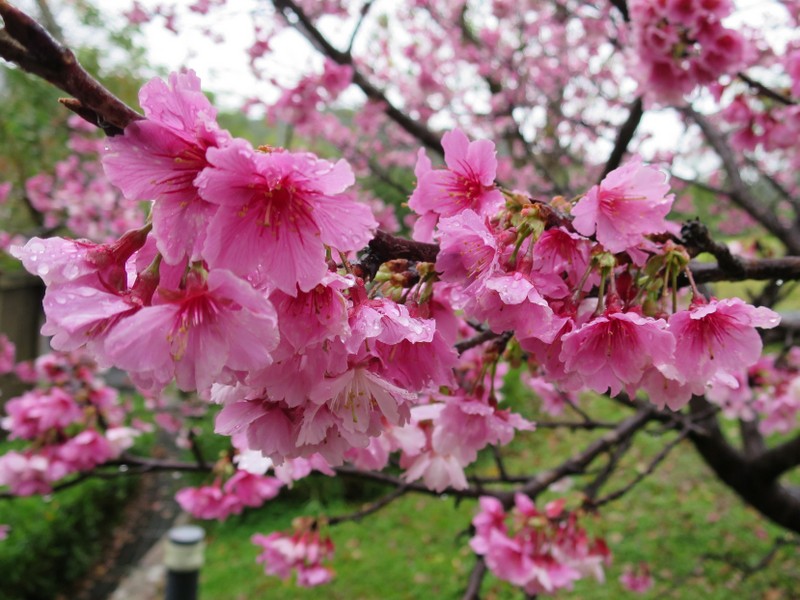
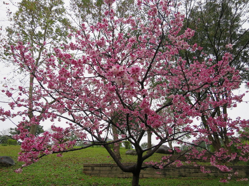
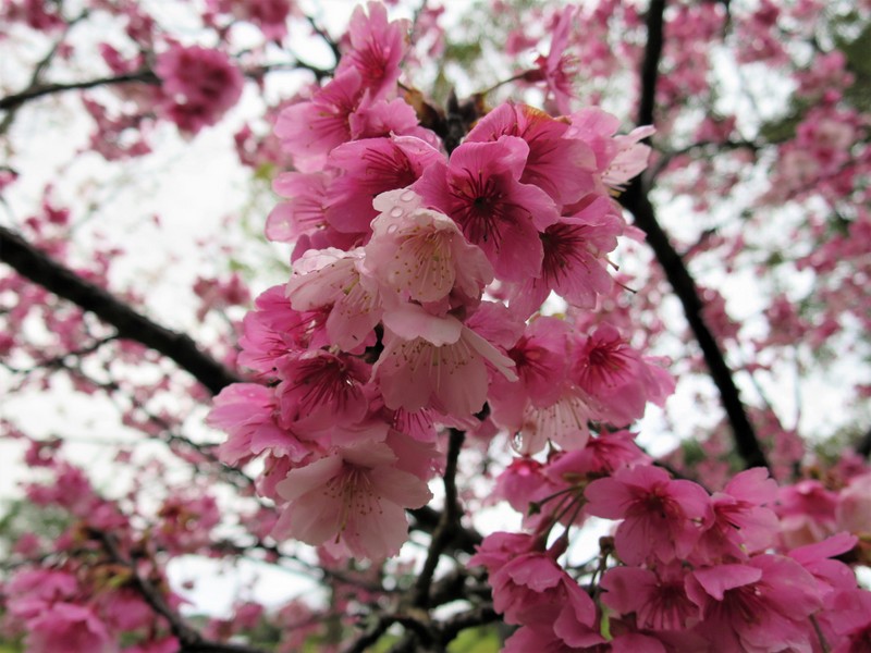
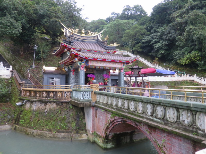
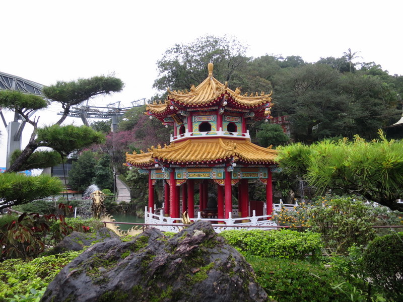
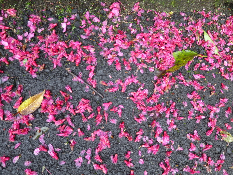
Many asked me the question, “Wouldn’t it be better to wait for good weather?” Of course, yes! But if the good weather doesn’t come, then still get out there and make the most of it! You never know what you might see. Check out this temple with the cherry blossom for example….
And so it was that the weather forecast for Taipei for the whole of the week for the Chinese / Lunar New Year (CNY) celebrations was rain, rain and more rain. 🌧️🌧️ And the weather forecast was right spot on! 😕🙃
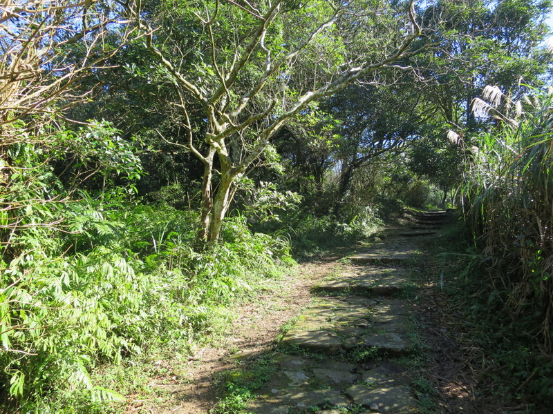
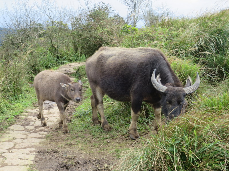
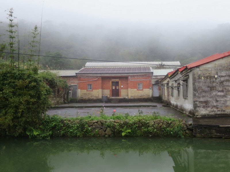
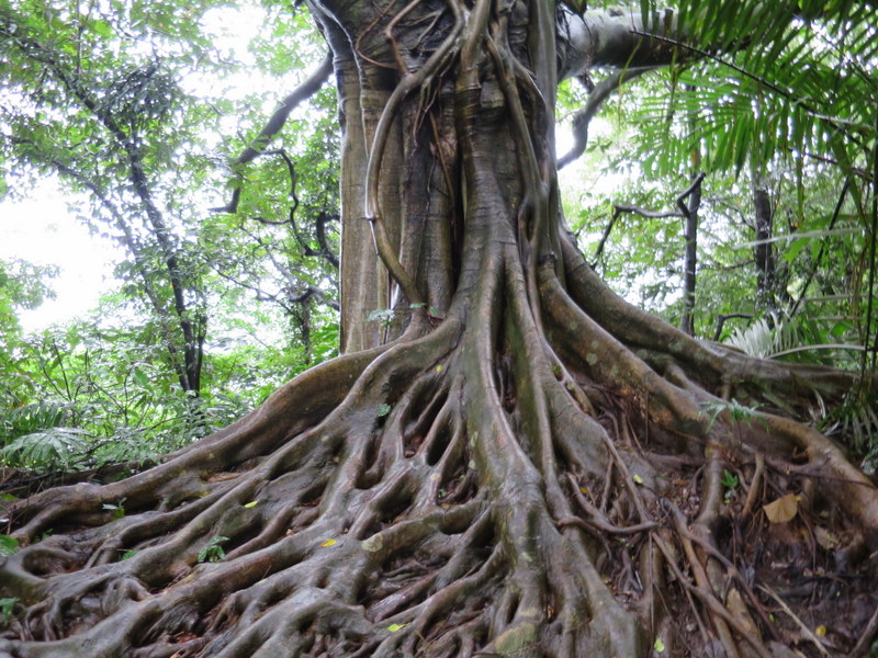
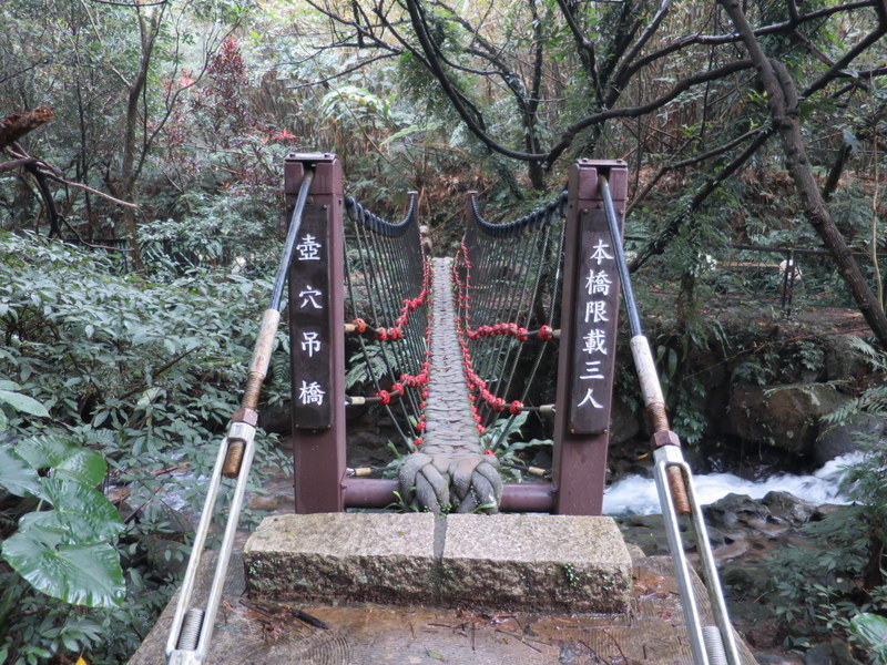
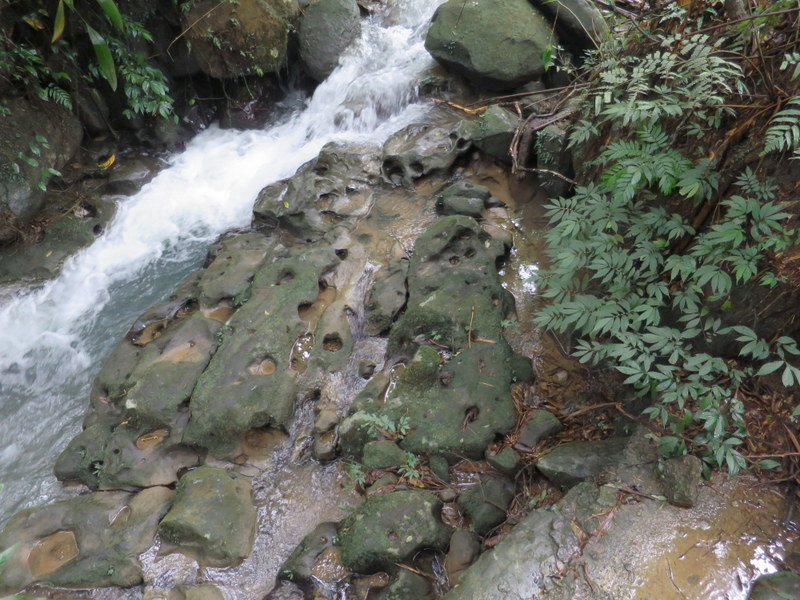
Ha ha, the good news is that here in Tamsui on the NW coast, the weather was even worse than elsewhere in Taipei. Appreciate that fact if you live in downtown Taipei! Every day the wind howled around my house, the rain poured and everything was damp and humid. So the answer is, get out of Tamsui – that’s motivation enough, just get out. Everywhere else has better weather than here! And of course, further south in Taiwan, it was lovely and sunny all week, but that’s the way it always is. Actually, Taipei is largely deserted every CNY holiday as so many people return to their family homes elsewhere in Taiwan – and the terrible winter weather in Taipei is often an added incentive to get out of the city over the CNY time. But then again, this was Erziping 二子坪 on Section 1, Day 1 …..
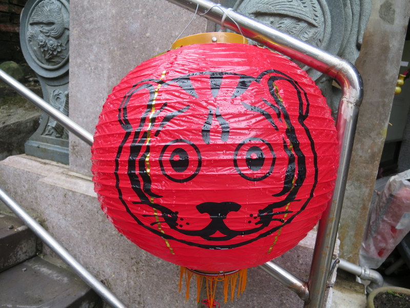
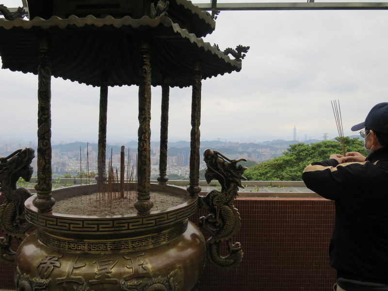
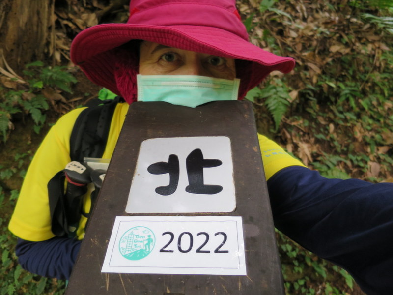
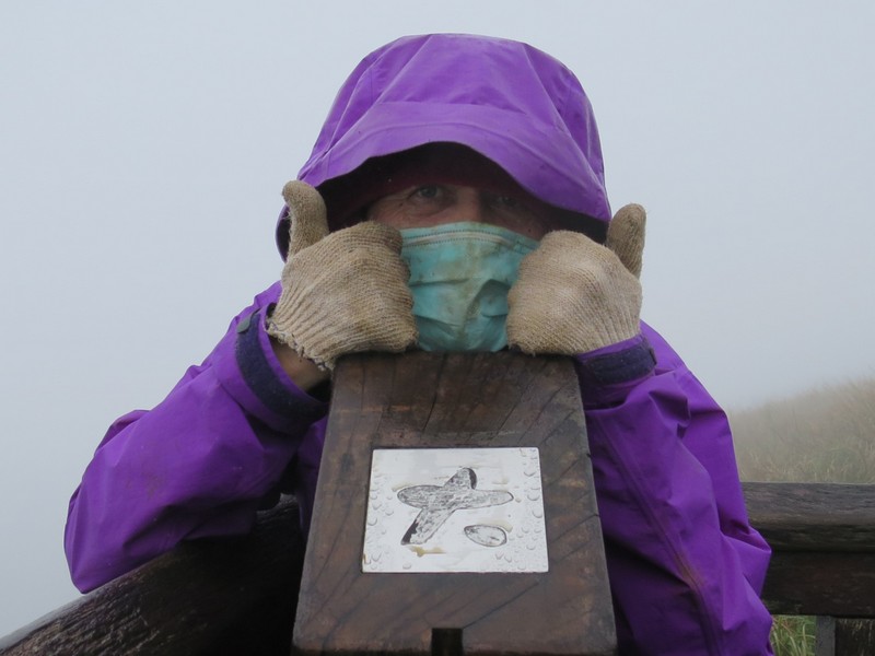
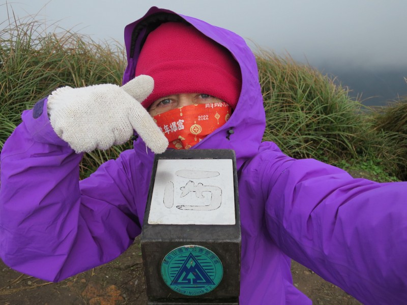
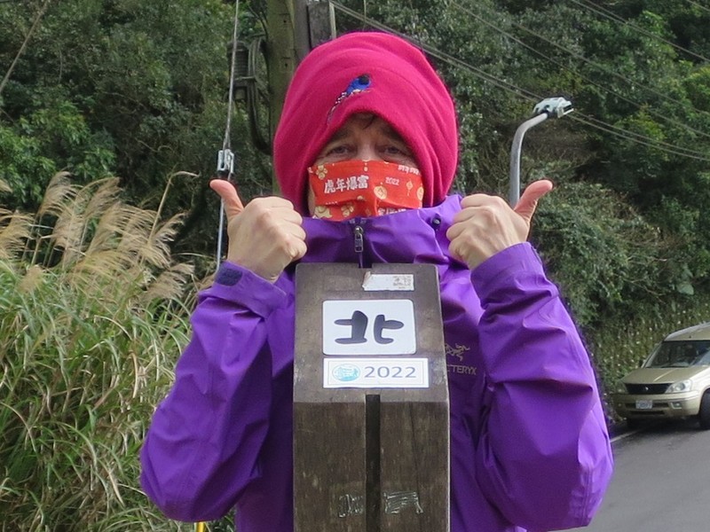
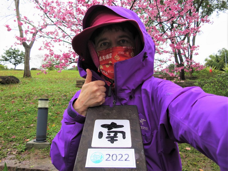
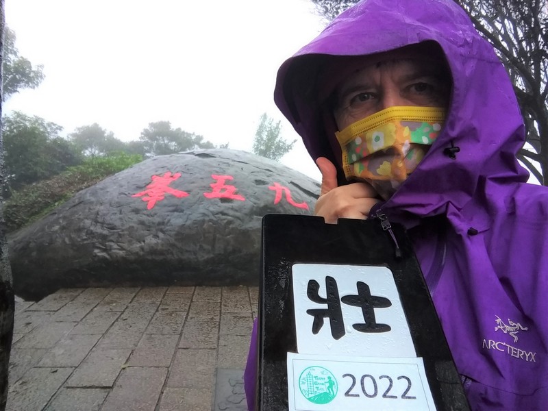
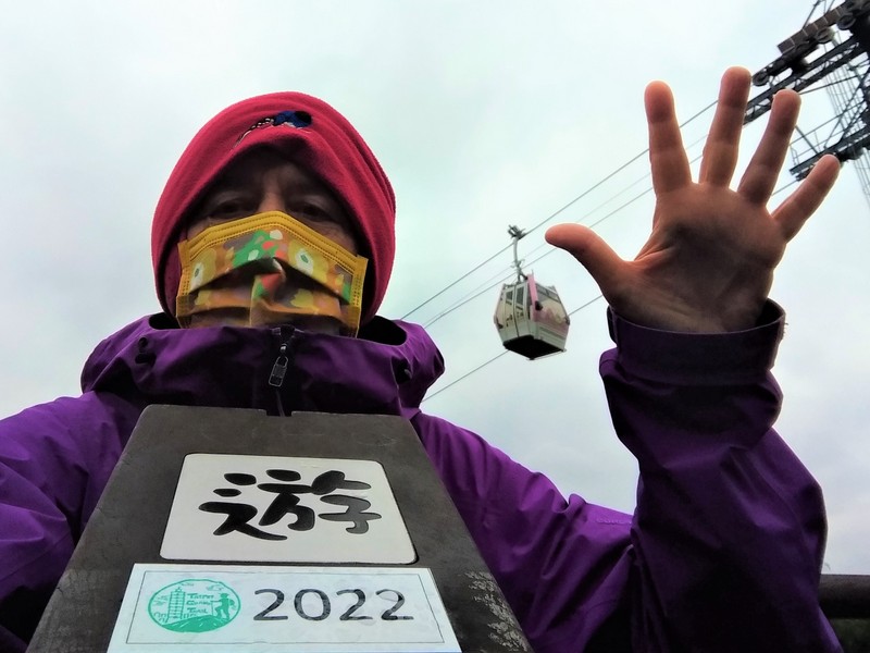
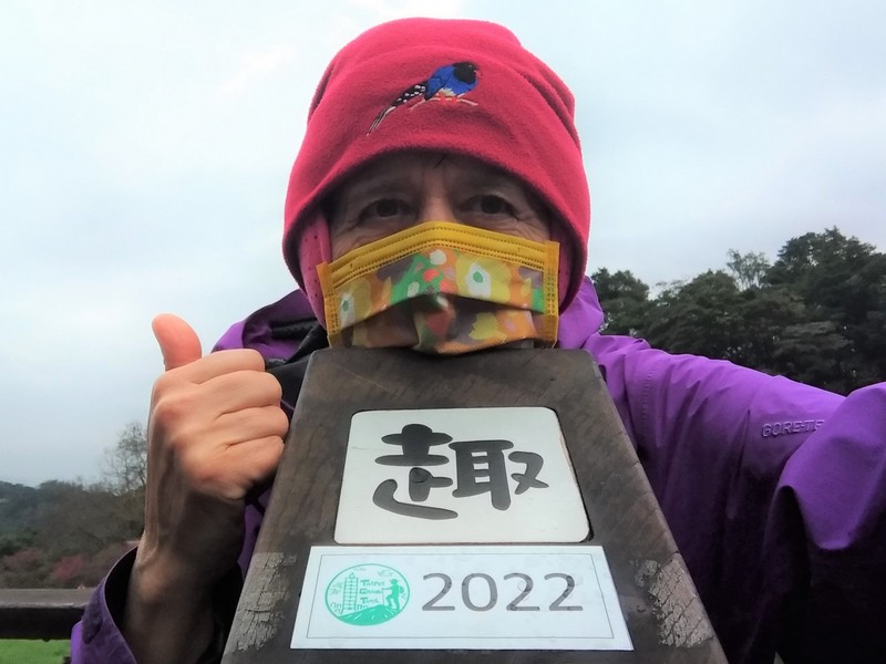
We are right in the middle of the Covid-19 pandemic, and despite strict border and quarantine controls, Taiwan has between 20-50 domestic cases being reported every day this past week, mostly in Taoyuan and Kaohsiung in known clusters. There continue to be some restrictions, like wearing facemasks outside the house, including for photos, and we’re also advised not to go to busy places. Apart from the temples, the busiest places were the MRT trains in the afternoons coming home, but nowhere near as crowded as on a normal working day. Anyway, I did keep my facemask on – spot the red 2022 Year of the Tiger facemask….
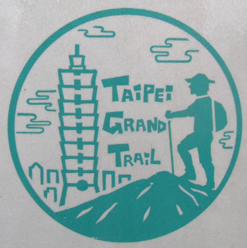
Given all that, what better idea than to spend the very wet Chinese New Year 2022 holiday week celebrating the arrival of the Year of the Tiger by doing the Taipei Grand Hike?!
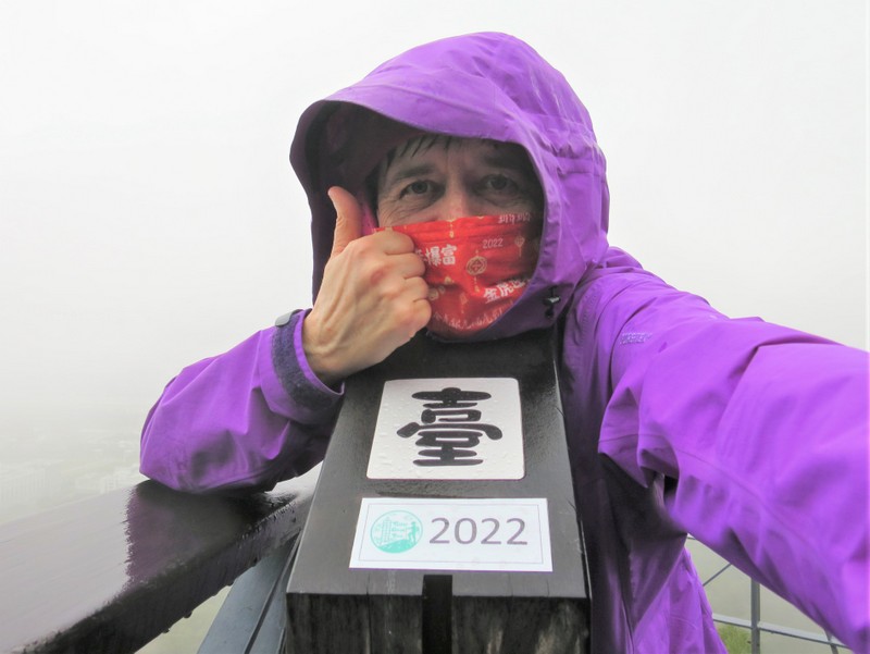
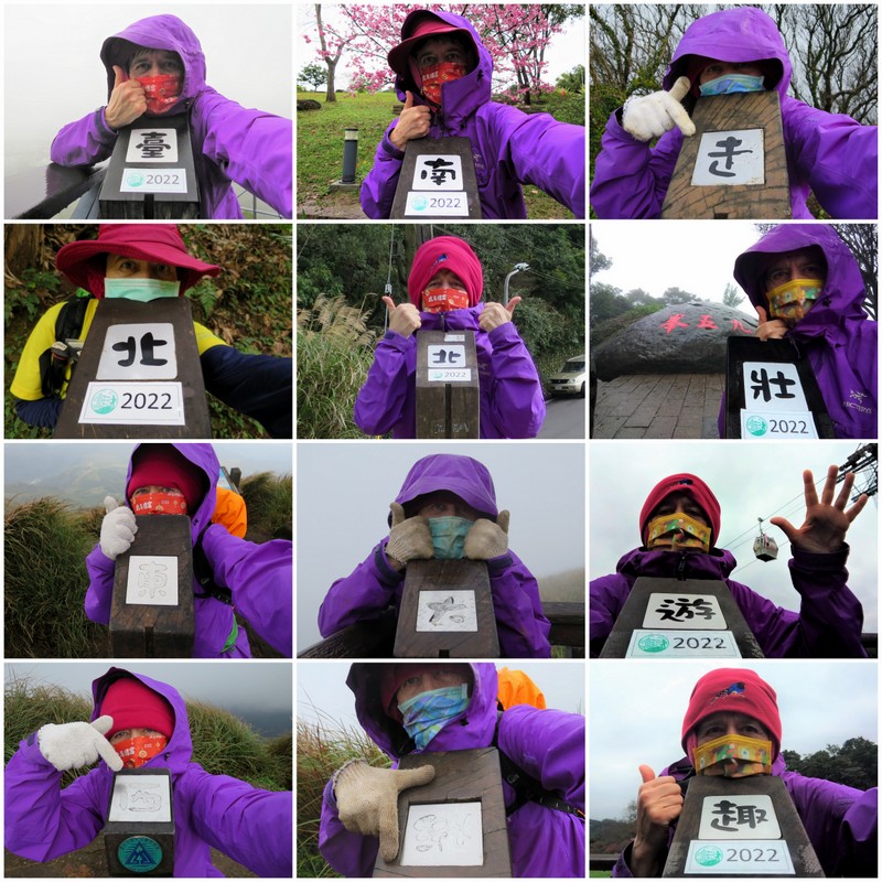
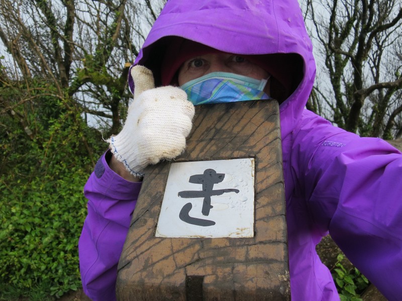
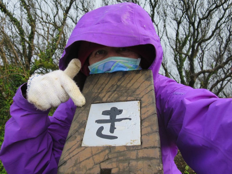
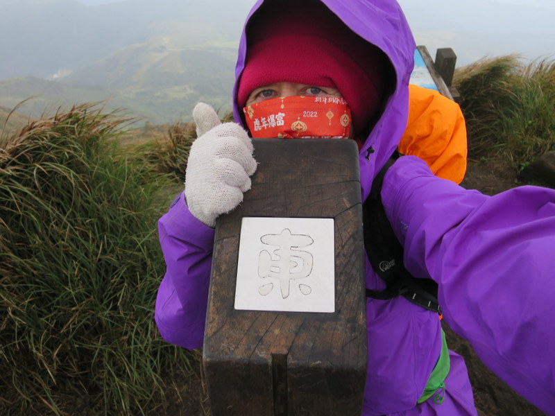
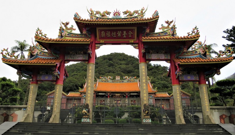
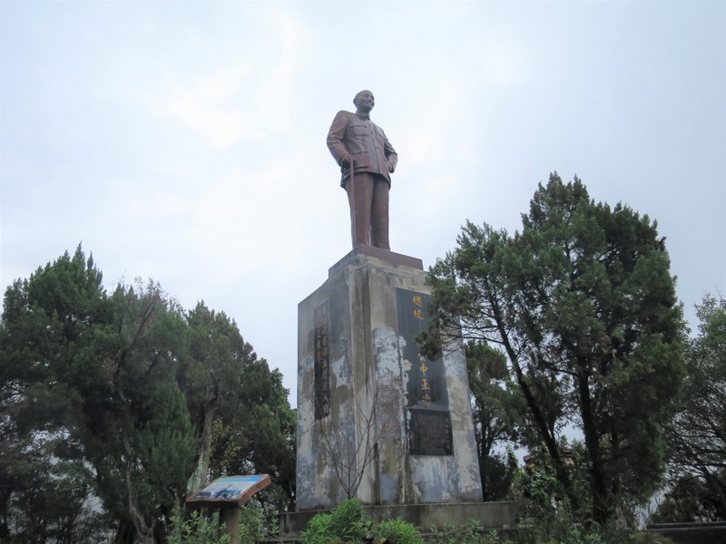
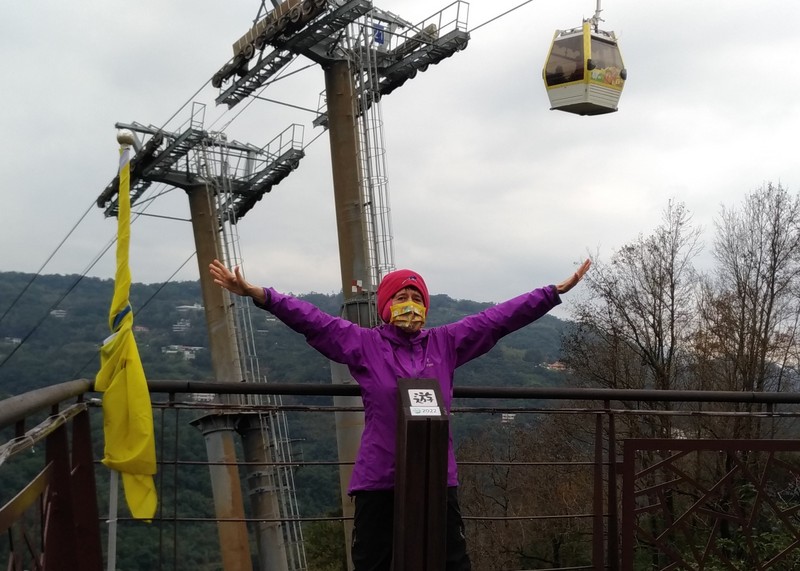
Picture the city of Taipei built in a river basin, surrounded by mountains on 3 sides, the 4th side being the river running roughly northwestwards out to the sea. Although most of the basin is built up, right of the river is actually known as Taipei City, while left of the river and far north, south, east and west is the old Taipei County, now known as New Taipei City. Taipei City boundaries go north right up to the beautiful Yangmingshan (YMS) 陽明山 Mountains, and so the Taipei Grand Trail, an initiative of the Mayor of Taipei City, goes around Taipei in a kind of semi-circle. It’s a bit confusing though, because some of the mountains that surround Taipei are officially in New Taipei City, so they are not included in the Taipei Grand Trail. Anyway, there are 12 special signposts along the whole trail, often at ‘viewpoints’ (though I hardly saw any views, only rain and fog!) with a Chinese character on the top of each one, some also with a notice of the year 2022. Arranged together, the Chinese characters spell out the phrase: 臺北東西南北大縱走壯遊趣, aka the Taipei Grand Trail. The idea is to take a selfie at each one, then combine them into a collage, for which you can get a prize on presenting the photo at the government office in charge of the trail, as a souvenir to show you’ve completed the challenge. This is mine:
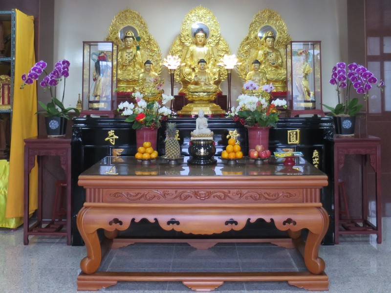
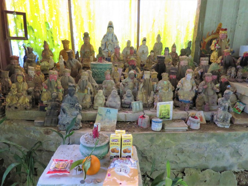
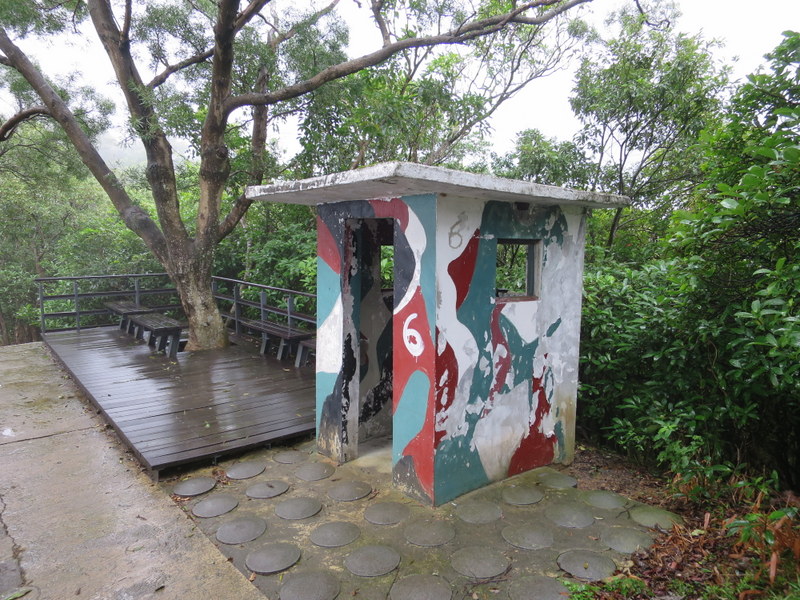
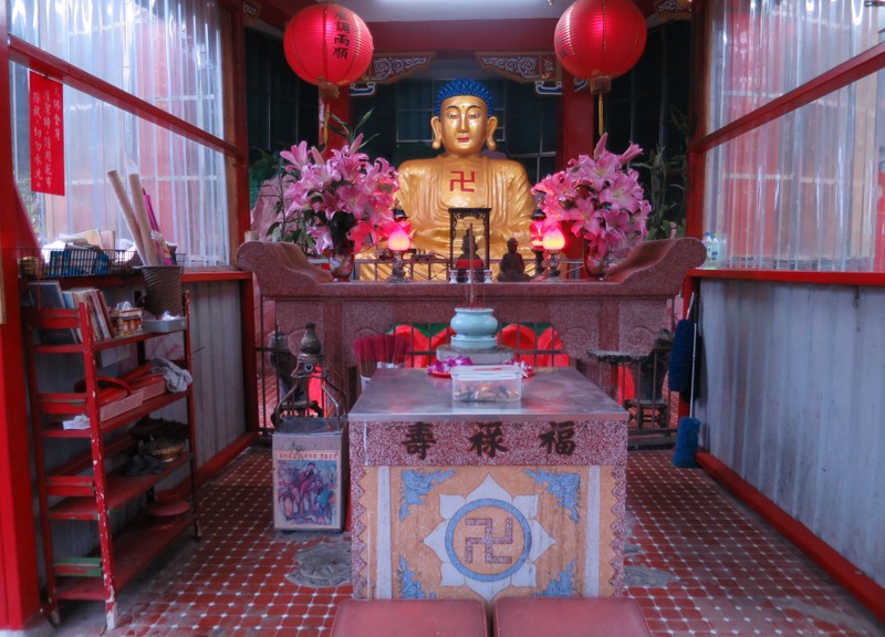
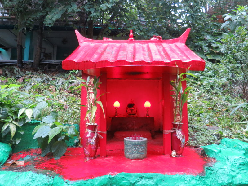
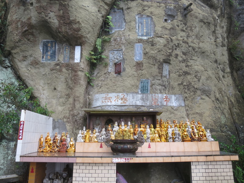
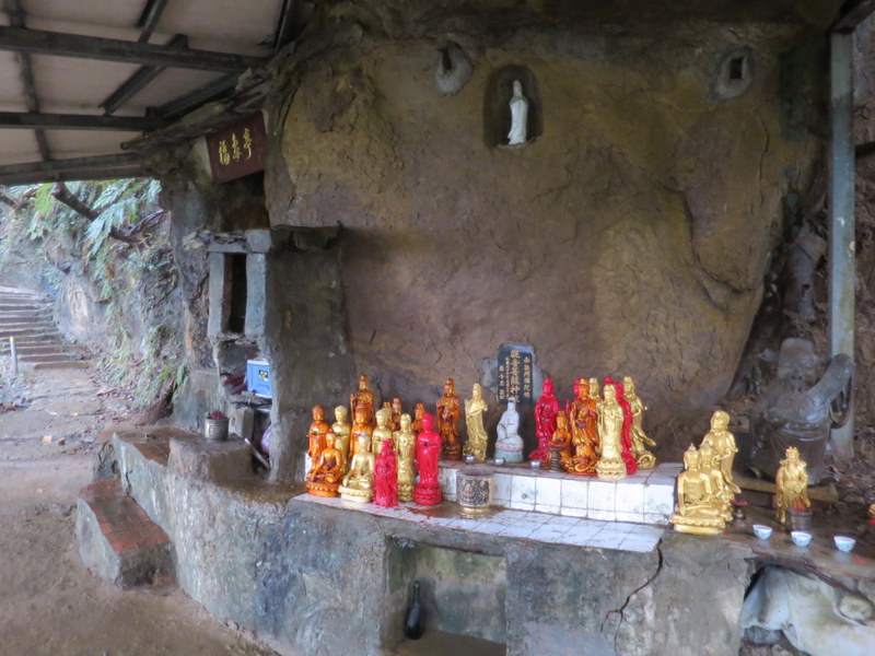
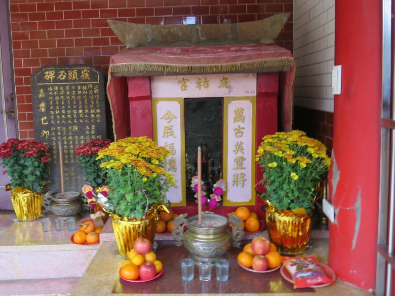
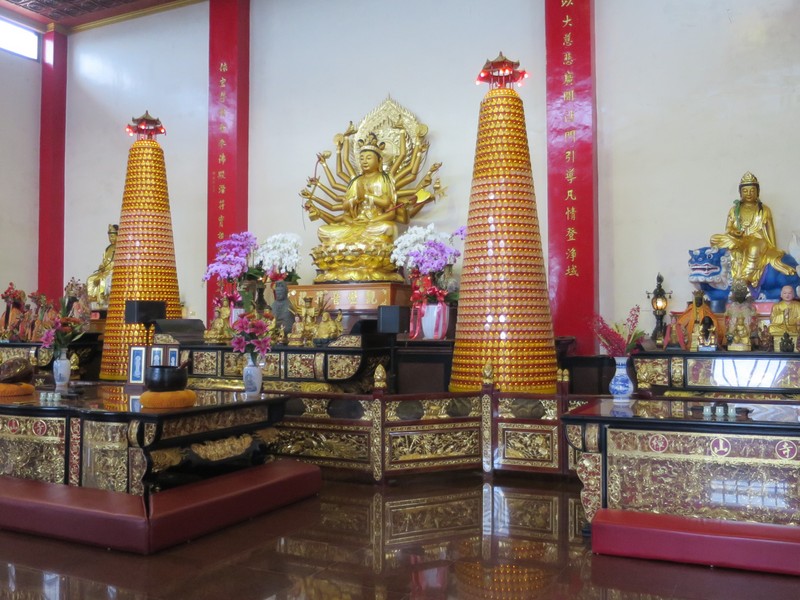
While the upper slopes of the YMS Mountains are a protected national park, with lots of trails, the lower slopes are largely forested and contain lots of graveyards, temples and shrines. This being CNY, so the temples and shrines were very busy with people making offerings and seeking the blessing of the gods for the New Year.
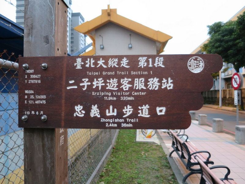
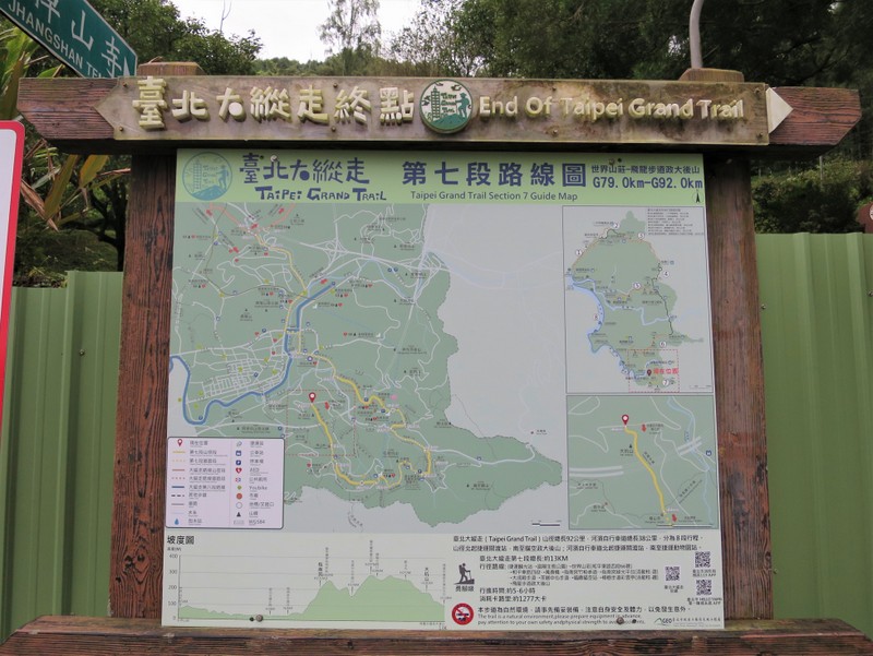
The trail is divided into 7 sections, 5 for the northern part, starting at near sea-level at Guandu 關渡 MRT Station on the western side, going up over the YMS Mountains and down, then a branch off across the middle of the city along a hilly ridge and down to Jiantan 劍潭 MRT. The southern part has 2 sections, going along the Nangang 南港 Mountains to the east of the city, and finishing at Maokong 貓空, up in the tea plantations above Taipei Zoo. Each section is arranged to start and finish at either a Metro MRT station or a bus stop that links to one, and if you’re reasonably fit, then each section can easily be done in about 4-5 hours of walking, although there is a lot of climbing. But then it is a mountain trail, so upwards and onwards is the way to go. Total length is officially 92 km. This is the official sign…
There is one very useful website in English called ‘Taiwan Trails and Tales’ where I got a lot of information, and downloaded all the maps. Do check it out. Also interesting to learn there some of the tales of the buildings and temples that you pass on the trail. Highly recommended. There’s also a Facebook page called 臺北大縱走 where people post their photos and updates of the trail and activities.
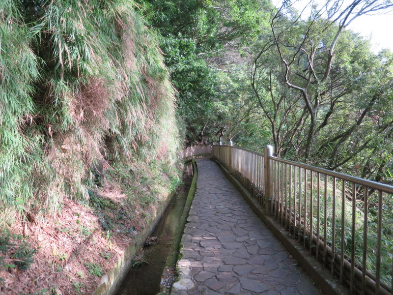
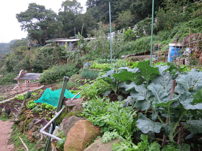
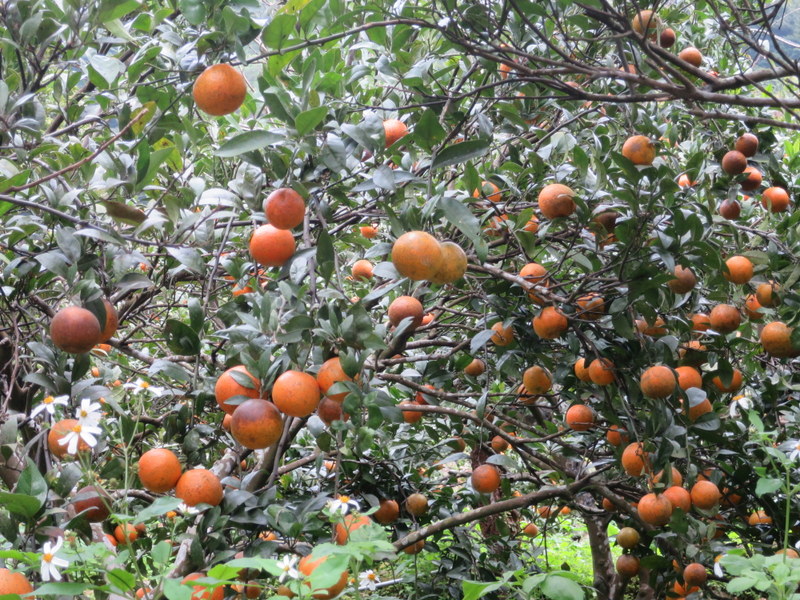
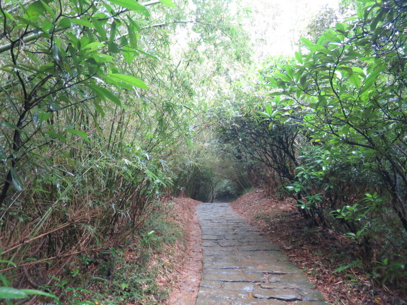
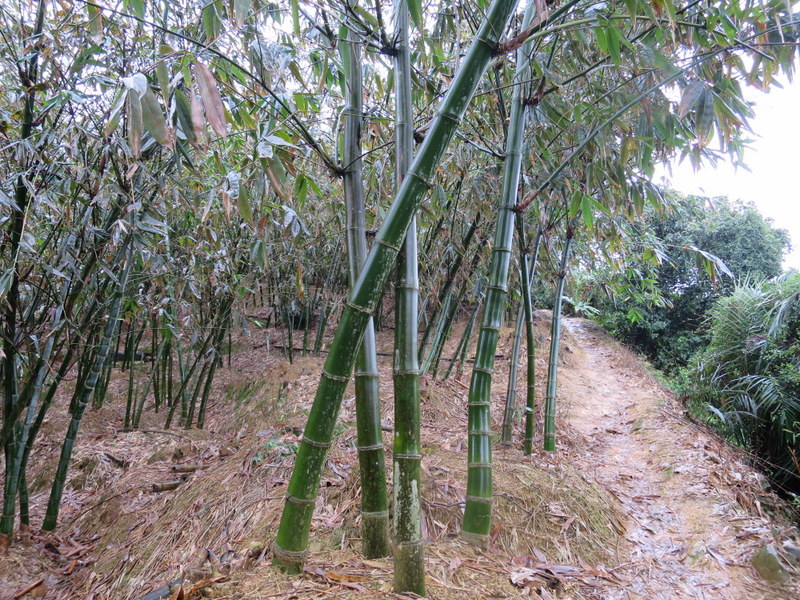
CNY 2022 officially started on Tuesday February 1, and the whole of that week was a national holiday. We finished work a few days before the official national holiday started, and so I started the Taipei Grand Hike on Thursday January 27 with Section 1 at Guandu 關渡 MRT. Foggy at low levels to start the day, gradually the fog lifted and the sun came out, there was blue sky everywhere. The trail heads upwards all day, along the irrigation canal, through small farms, orange groves and forests, and then climbs up to Erziping 二子坪 Visitor’s Centre in the Yangmingshan (YMS) National Park.
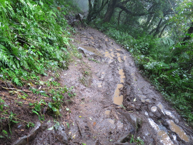
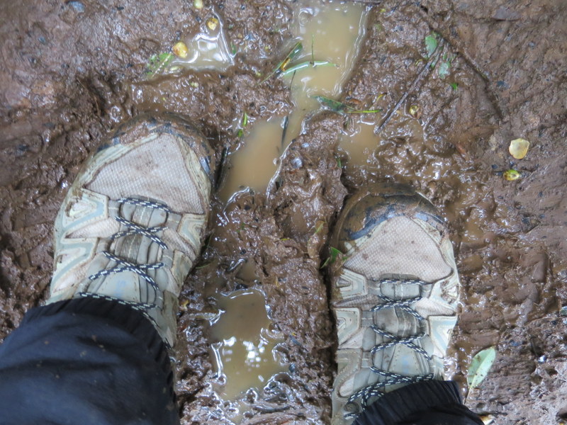
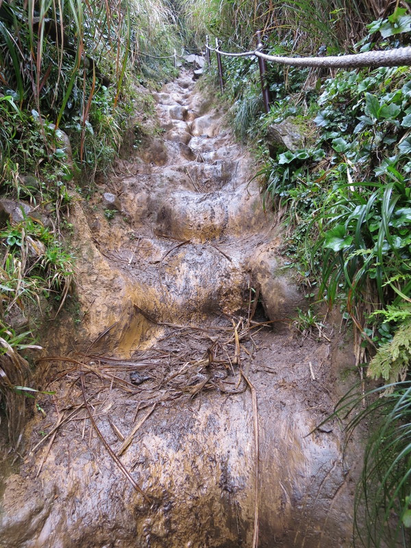
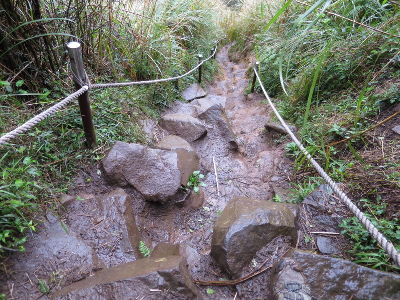
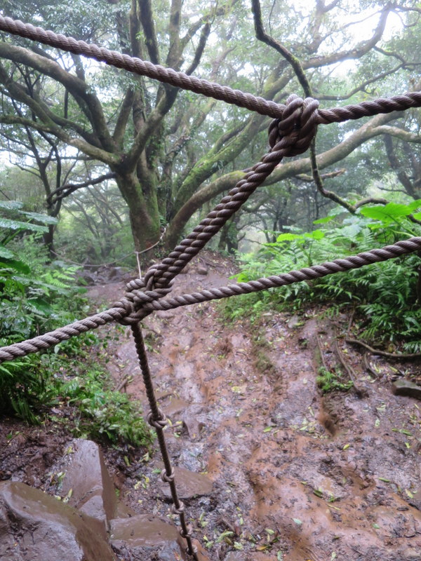
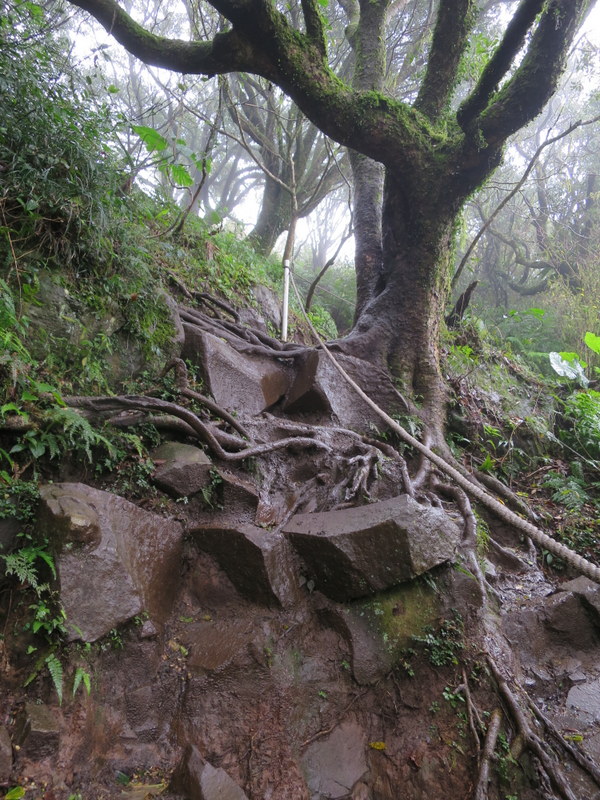
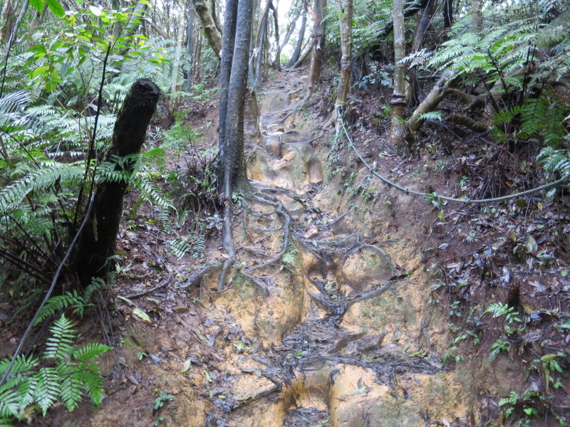
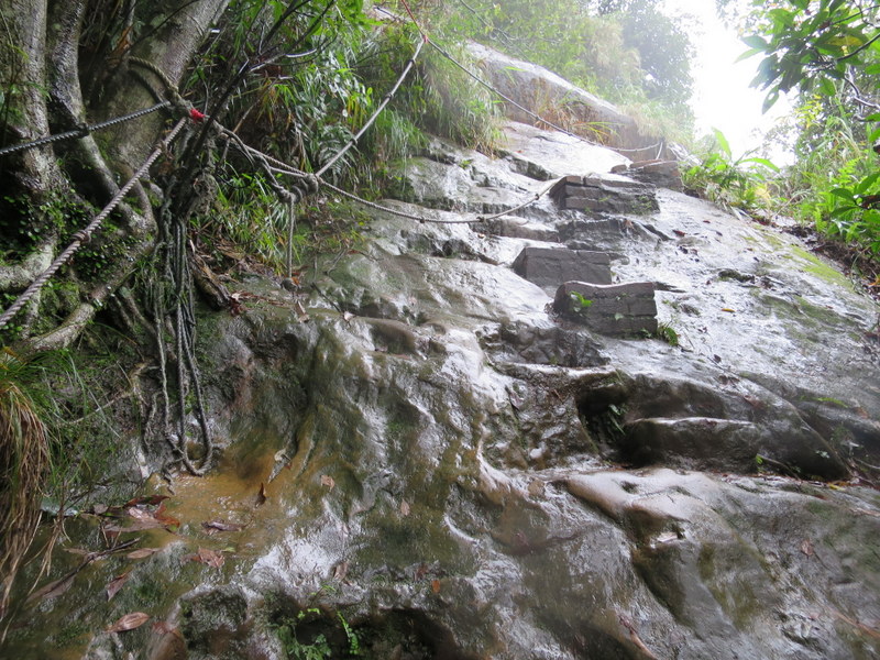
The following day, Friday January 28, the rain came down in torrents, and I had a day off. The forecast for Saturday January 29 was heavy rain in Tamsui, but light rain up in the YMS Mountains. So off I went to do Section 2! I had done this section many times before, up and down Datun West, South and Main Peaks 大屯山 , so I knew the trail to be very wet and muddy – there’s a lot of ropes that you need to use to pull yourself up, and the paths are slippery; and I also knew that being CNY so there wouldn’t be many people there braving the elements. Fortunately, at the start of the trail, I met a man who told me he was also doing the same route that day, but with a group who would be about an hour behind me. Kind of reassuring given the weather! As it was, I then saw nobody until I got to the top of Datun Main Peak, where out of the rain and fog on the road that goes up there appeared 2 foreigners on YouBikes, they had ridden all the way up from Taipei! They said they often rode up on real bikes, but always dreamt of coming up on YouBikes. YouBikes are designed for people like me to cycle in and around the city, they have 3 gears and a basket on the front. Not for the high mountains. So crazy! But, like me, they thought that if they wait for the good weather, they may wait weeks, and given that this is the weather, then why stay home? Just do it! Ah, we love all this rain, rain and more rain. By the time I got to Xiaoyoukeng 小油坑, I was totally soaked!

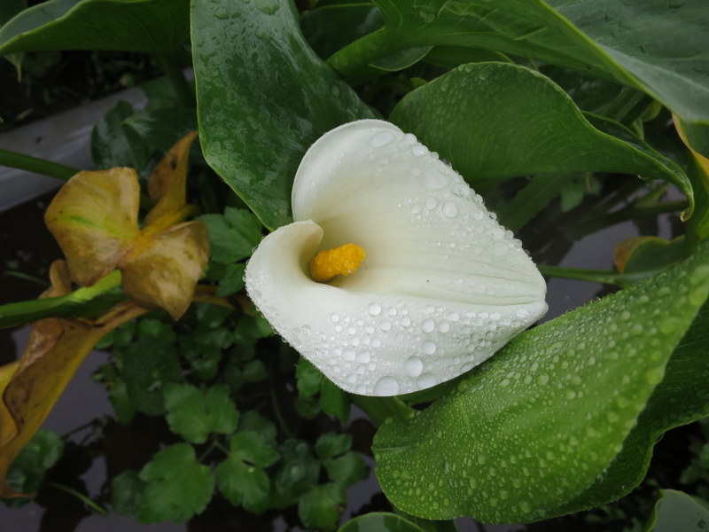
Leaving the Datun Mountain Range, the path goes down to Zhuzihu 竹子湖, at the top of the valley where the farms grow calla lilies, just starting to flower.
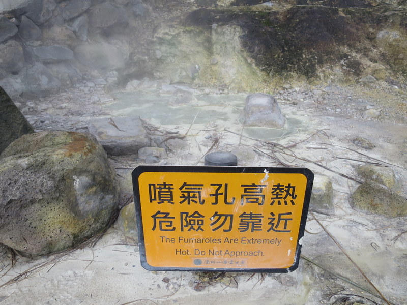
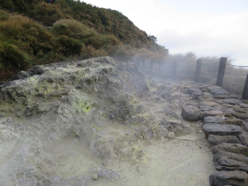
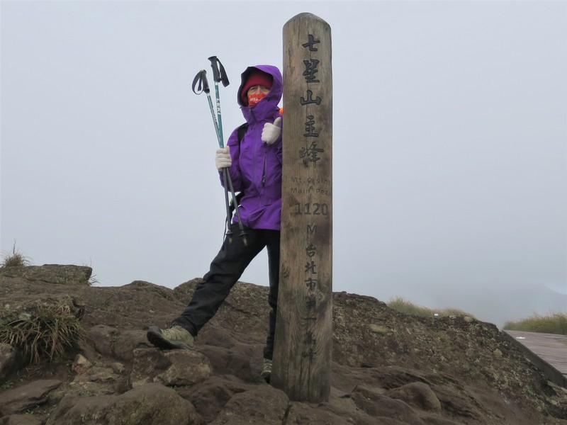
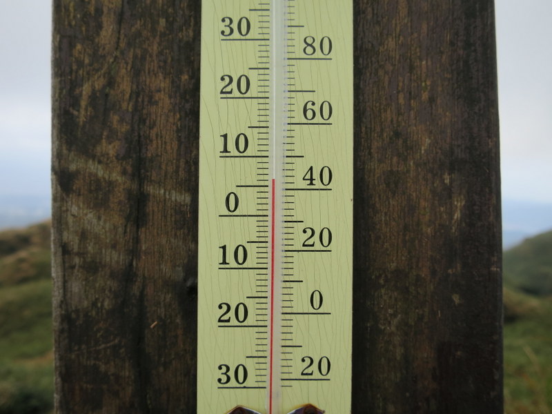
The next day, Sunday was also heavy rain, I had another day off. In the evening, the rain stopped and a cold front came along, so Monday morning was very cold, but forecast to stay dry. On Monday January 31, CNY Eve, I set off for the highest part of the trail, Section 3, from Xiaoyoukeng 小油坑 to Fengguikou 風櫃口 via Qixingshan 七星山, 1120 m. I had also done this section many many times before; it helps to know the route! It was 6.2°C at Xioayoukeng 小油坑 Visitor Centre, and 5°C up at the top of the mountains. Brrrr! Mostly it was overcast, but it stayed dry and the sun even came out a few times, though this was to be the last time I would see the sun for the rest of the week. The trail starts with the fumaroles belching sulpur fumes at Xioayoukeng 小油坑. The views were great!
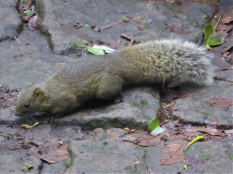

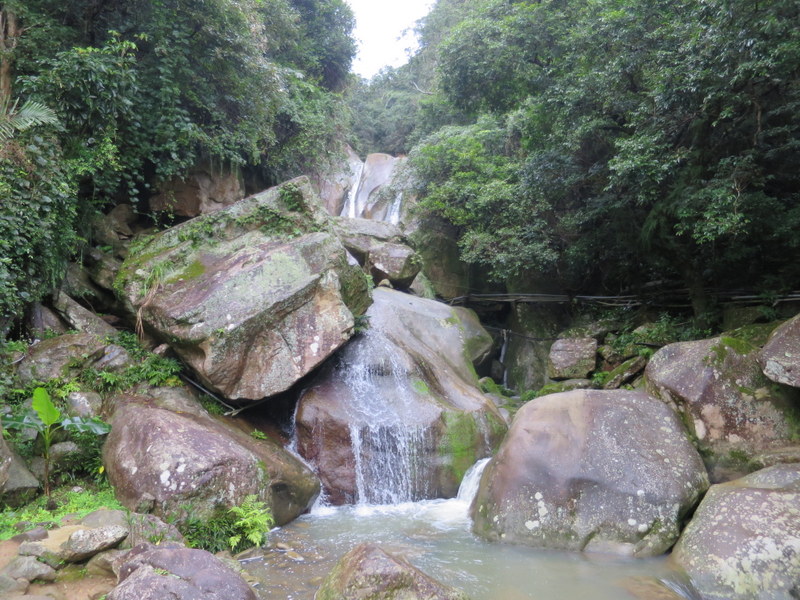
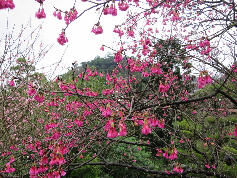
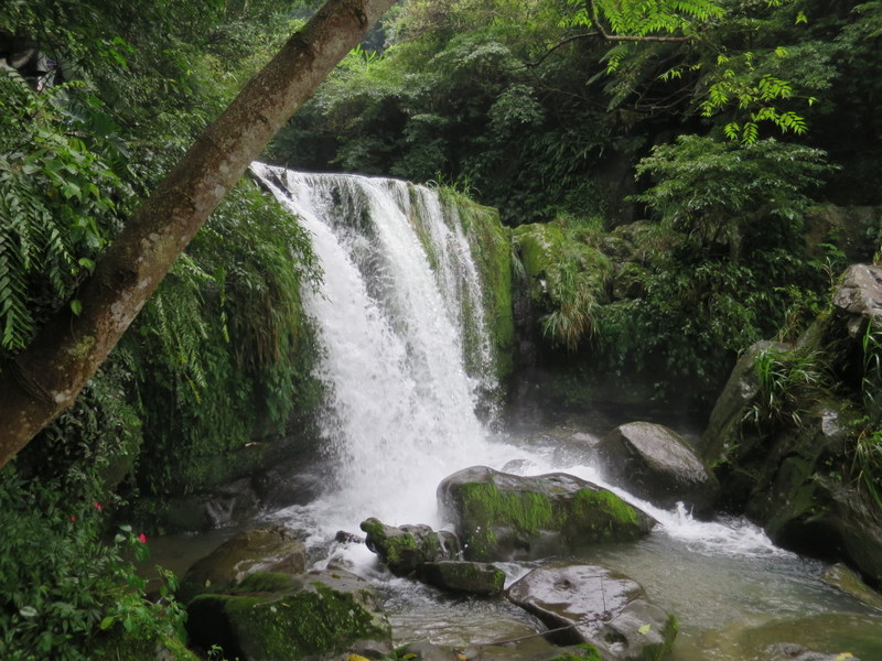
Then started a whole week of rain. Every day, from Tuesday to Saturday, I went out in the rain and came home in the rain, ah I was so damp! On Tuesday February 1, CNY’s Day 1, and Wednesday February 2, CNY Day 2, I was out in the rain doing Section 4, from Fengguikou 風櫃口 down to Dahu Park 大湖公園 MRT in Neihu. This route was completely new to me, and although the signposts were many, there were nowhere near enough, especially at 2 key areas. I tried from both ends of the trail. There is an official app, with a route map, but it’s not compatible with my phone, so I downloaded a separate map onto the phone and used that, following the route, stopping to check probably 15-20 times. I then did the same thing for every other section of the trail afterwards, although Section 4 was by far the most lacking in signposts. Now I know that on a rainy muddy day, it is definitely better to start from Dahu Park MRT and head upwards to Fengguikou, and get the bus down from there. Once you can find it, the trail is really beautiful, starting at the cherry blossom tree, going up past the YuanJue Waterfall 圓覺瀑布, then among the strawberry farms of Neihu 內湖, and up into the high forests. It being the Year of the Tiger, those forests are the kind of forest you might expect to see a real tiger, if there were any in Taiwan, that is. As it was, the only people I saw on the trail were 2 young men on mountain bikes screeching through the mud, they were so amazingly fast, and very dirty!
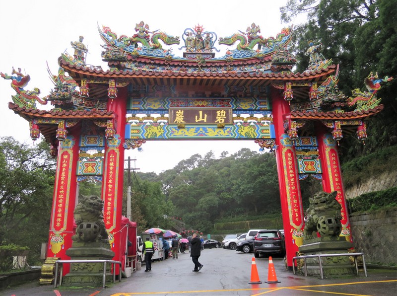
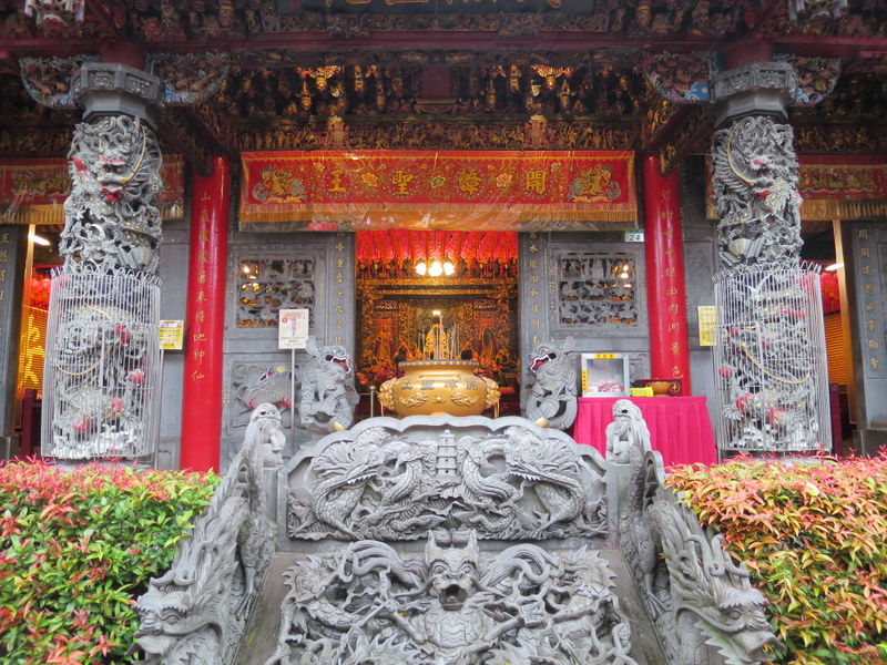
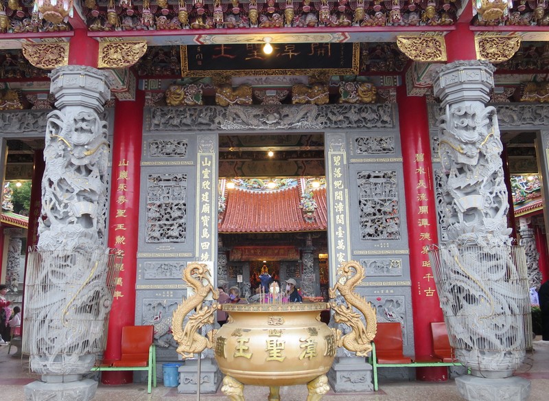
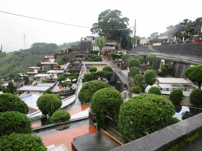
Thursday February 3, CNY Day 3, Section 5, and local people were starting to get out and about. The trail runs from Bishan Temple on Bishan Mountain 碧山巖 to Jiantan 劍潭 MRT. There were lots of people on the trail, mostly in family groups, everyone with an umbrella, and it rained most of the day! This section is very close to Taipei, and I had done part of it many times. The main sounds were of airplanes taking off from nearby Songshan Airport, and the chanting broadcast from the temples and graveyards. There are many graveyards up there, including a Christian one, and there are many gruesome stories told about crimes that have taken place up there, plus haunted temples. The main viewpoint was all in fog, so it all added to the eerie atmosphere! A lady asked me to take her photo at the viewpoint, holding a sign saying ‘98’ indicating the number of times she had climbed up there in the past 2 years! The trail section ends just above Jiantan MRT Station near the Grand Hotel, an old military area, and full of temples and shrines.
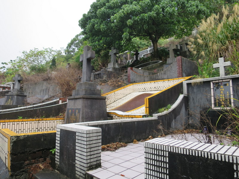
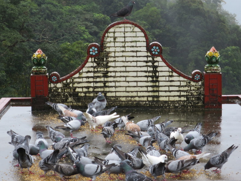
Section 6 marks the start of the southern section of the trail, and involves quite a journey time-wise for me to get to the far eastern side of Taipei over at Nangang 南港, over 2 hours each way. Good job I left home every day at 5:30 am to get outside to the first bus! Section 6 was done on Friday February 4, CNY Day 4, and guess what, well it rained most of the day. Light steady rain – but still, rain is rain! The trail runs from China University of Science and Technology 中華科技大學, not far from Nangang Station, going up and along and down eventually to Linguang 麟光 MRT Station. I had done the first part of this trail many times, on the stone paths that lead up to the 95 Peak. The second part was completely new to me, here the stone path finished, and instead there was mud, and more mud. But it was very interesting, even though we again went through many graveyards. One of the grave roofs was being used to feed the pigeons!
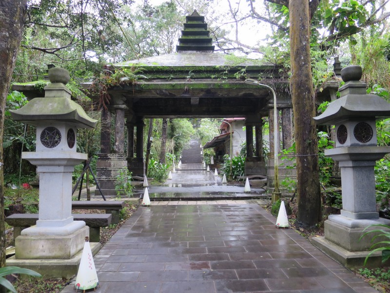
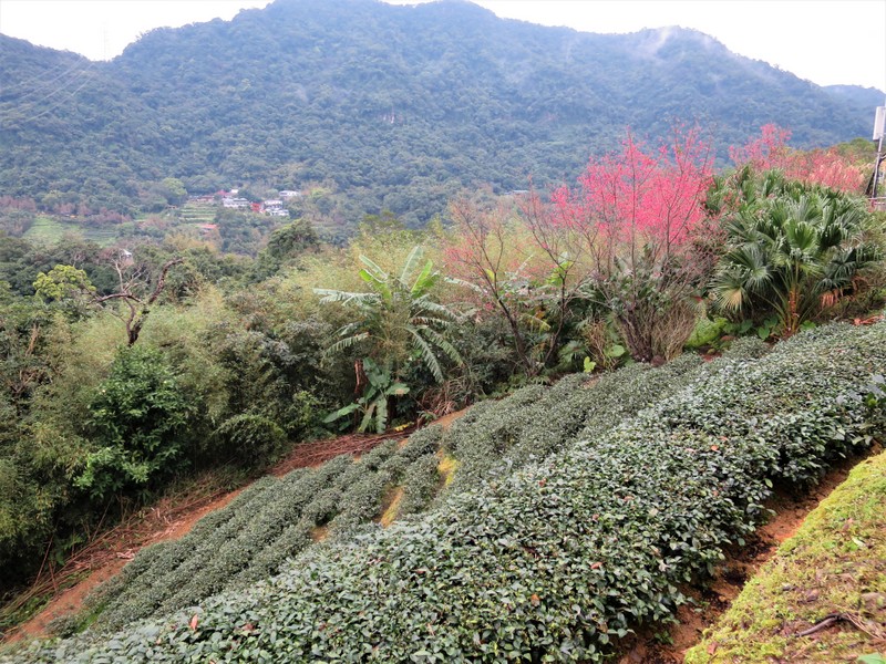
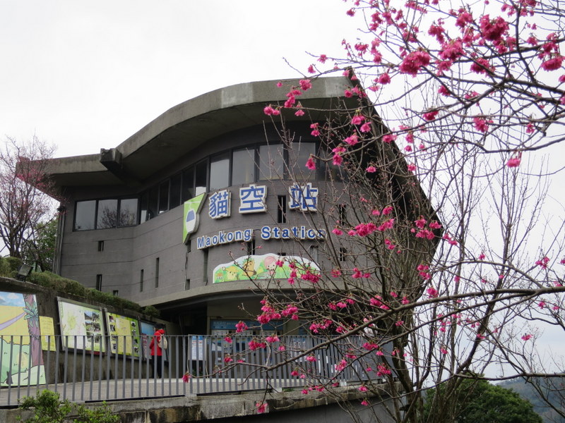
And so to Section 7 on Saturday February 5, CNY Day 5, and what a wonderful way to finish the Taipei Grand Hike. This section is a big loop, starting and finishing at National Chengchi University 國立政治大學, near Taipei Zoo and goes up to Maokong 貓空 . I had been up there on the cable car several times, but never walked up the trail, which goes right up to the cable car terminus. Much of this trail section is newly done, and it’s wonderful. It starts on the Zhinan Temple 指南宮 Trail, goes up through the cherry blossom, down to the river, and up again through the tea plantations. A huge number of steep steps, but really interesting, and full of people enjoying a day out too. It was overcast all day, and didn’t rain until I got to the bus stop to come home!

All in all, a great way to spend a CNY holiday week! Yes, I did also spend time with friends celebrating, especially on CNY Eve, and am grateful to them. I also let them know that this was my plan during the week, so they would know where I might be. Yes, I really appreciated this week of walking, hiking over Taipei’s mountain trails, seeing new things, enjoying the scenery and all that nature has to offer. Grateful also to be able to come home safely each day, and start out afresh the next. Yes, my boots were completely wet from one day to the next, and so was everything else, but it was a fun experience and exhilarating to complete it all. And yes, when the weather is better, I might well do some of those sections again – some could be combined to do two or more in a day, the possibilities are endless. Watch this space!
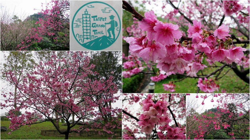
As long as there’s no serious weather warnings of torrential rain or storms or typhoons, and as long as you stick to the paths of the Taipei Grand Hike and don’t do anything stupid, then don’t let bad weather put you off. Go out! If not the Taipei Grand Hike, then find something to do that takes you out! Don’t regret it and stay home waiting for better weather, it might never happen. After all, if I’d have stayed home, I’d have missed all that beautiful cherry blossom. Get outside, and live life to the full!
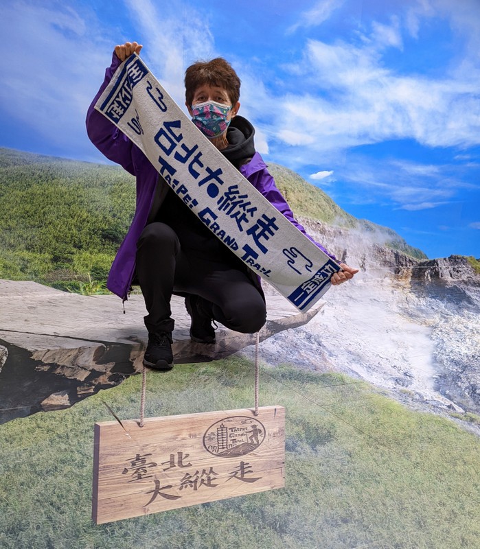
Updated February 18, 2022: I went today to the Geotechnical Engineering Office, the government office responsible for the Taipei Grand Trail. The staff confirmed that the ‘Hiking BIJI’ app (健行筆記) which marks the whole trail, for the time being anyway is limited to those who have Taiwan listed as their location on Google PlayStore. The photo above is of me with my Taipei Grand Trail towel, collected today on presentation of my photo collage, taken at their 3D photo wall! YES! Mission Accomplished!

Updated March 26, 2022: A friend of mine has contacted the Hiking BIJI (健行筆記) app developer and the app has now been modified to make it accessible for those in selected countries, including UK and USA. Their customer service is excellent! If your country is not listed, then contact them directly and ask them to allow your country access – but be prepared, the app is bascially all in Chinese ~ ah yes, gotta love that extra challenge!
Updated April 26, 2022: Since the Hiking BIJI became available, I have since done all the Taipei Grand Trail once again, this time using the app ~ April is a great month for the trail, it’s beautiful in spring! The post is here:

How brave of you to do the trail in such bad weather! Hope it was worth the effort. Lovely blossom!
Thanks Anne!
Wow! Thanks for all those beautiful photos and for sharing the whole journey with us! My greatest achievement this year has been 12500 steps on footpaths through Audley End Park, Bridge End Gardens, Saffron Walden Common etc in dry weather, last Monday! Your achievement leaves in in awe! (Perhaps the 20 year age gap makes a difference!0 Happy New Year of the Tiger! When is your next UK leave? xx Jenny Kirkaldy
Thanks Catherine! Great achievement. I posted a comment, then when the site didn’t recognise my current email address I had to use the one I switched from using over two years ago. Hope that’s O.K,! x Jenny K
Thanks Jenny, and I saw both your messages. Much appreciated!
That weather! You are a tougher soul than me if you’re able to wake up at 5:30 every day to brave the rain. I really enjoyed reading about your account of the trail.
Thanks for your comment – and yes, that weather indeed, it was quite a week!
Hi, where do I get accommodation information for this Grand Taipei Hike? I’m planning to do a 6 days self guided hike. Thank you.
You could choose any hotel anywhere in Taipei City to do the Taipei Grand Hike, as it starts and finishes from a different MRT Station or bus stop each time, and all are easily accessible from central Taipei City.