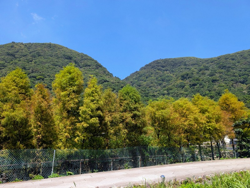
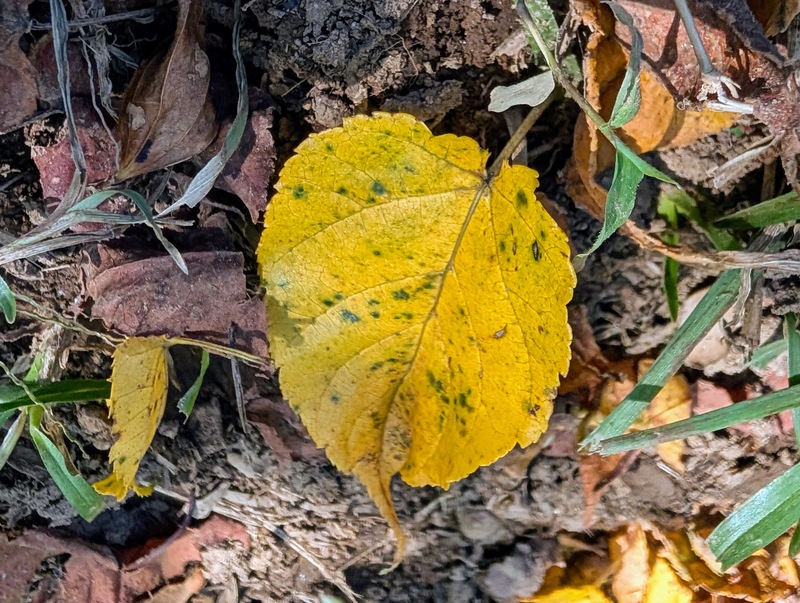
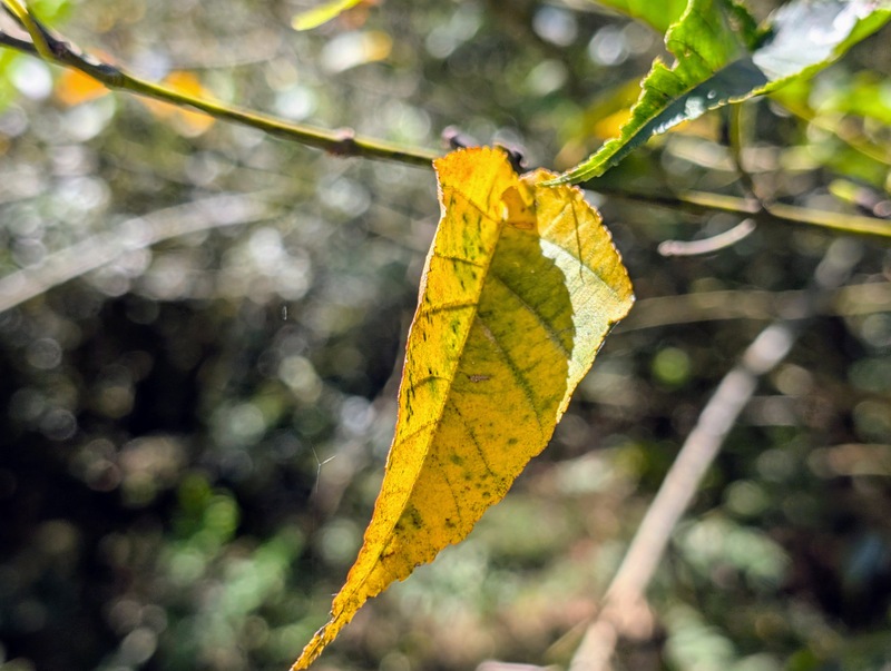
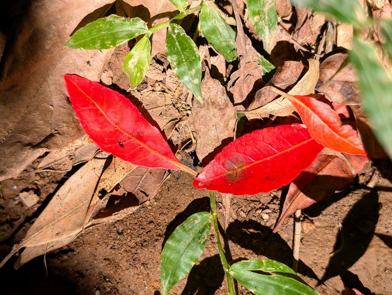
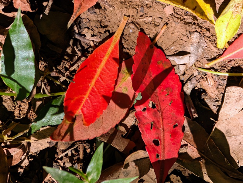
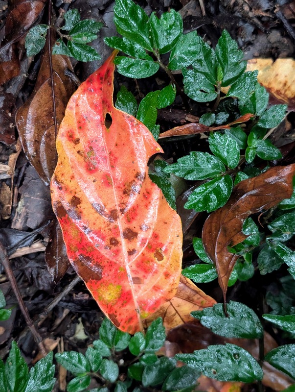
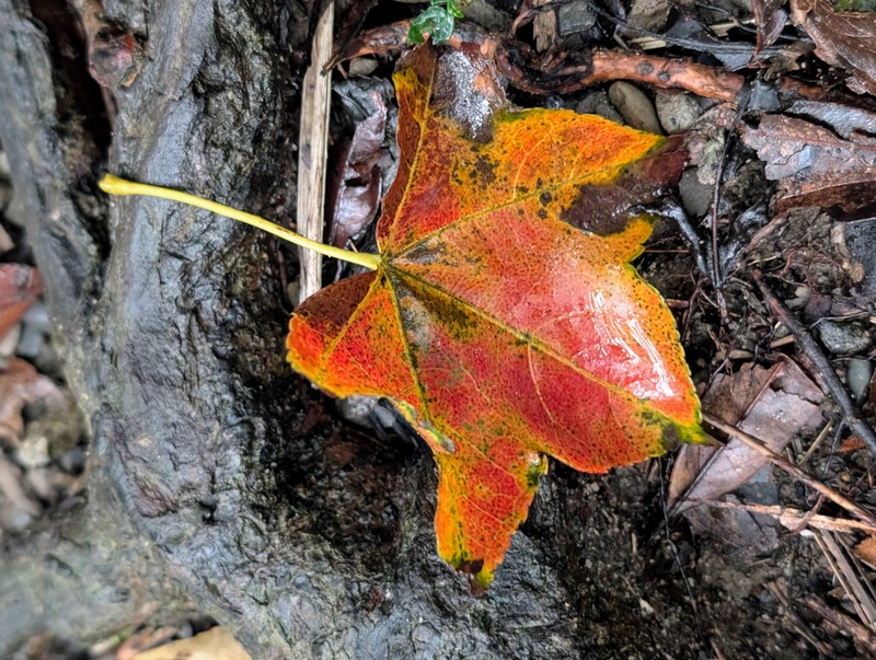
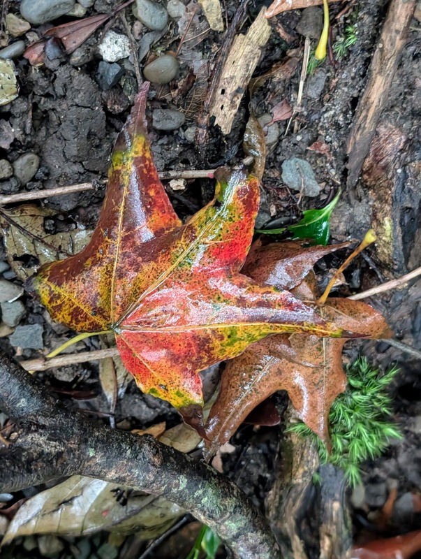
Five years of doing the Taipei Grand Trail, and it’s been a blast! This year has been particularly good, with such wonderful autumnal weather, which means it’s been hot, sunny, breezy, and with little or no rain. There’s even some autumn colours in the Yangmingshan mountains….
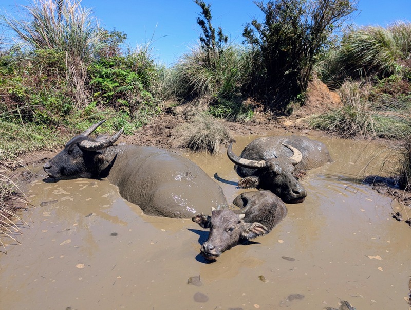
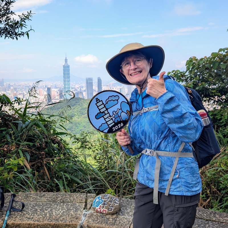
Sometimes, yes, it’s even been too hot and too sunny, but if you escape into the shade, then armies of mosquitoes are waiting to attack, so as you’ll see from the photos coming up, I’m pretty covered up most of the time, prepared for all eventualities. At least, all this hot weather means the water buffalo can enjoy some cooling off in the mud pools!
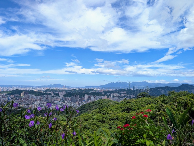
As I wrote last year, the Taipei Grand Trail (TGT) is a fun way to explore the mountains and hills that surround Taipei City, on a series of well-trodden and clearly-marked footpaths that link up into one big 130 km-long trail. It’s supposed to be 92 km of walking, divided into 7 sections, and a final section of 38 km cycling along the river to join the ends together in a big figure of eight. Each section is a good half-day hike, mostly about 5-6 hours of walking, and if you’re fit and healthy and like a challenge, of course, you can do one or more sections together; some people aim to do the whole thing in 24 hours! Not me; one section a day is enough. On a fine day, the scenery is beautiful, and the views all over the Taipei basin are amazing. Last year I did the TGT in spring, and now this year in autumn. My plan is always to start very early in the morning when it’s a little cooler and the crowds are fewer, and to finish about lunchtime; it’s worth the early start, honestly!
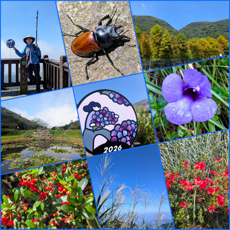
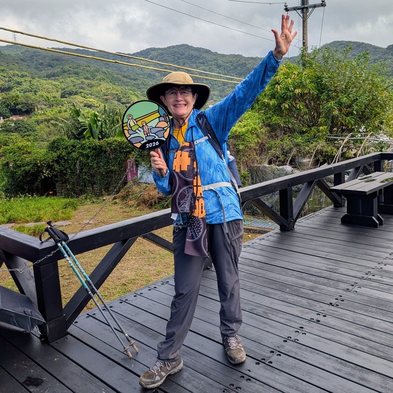
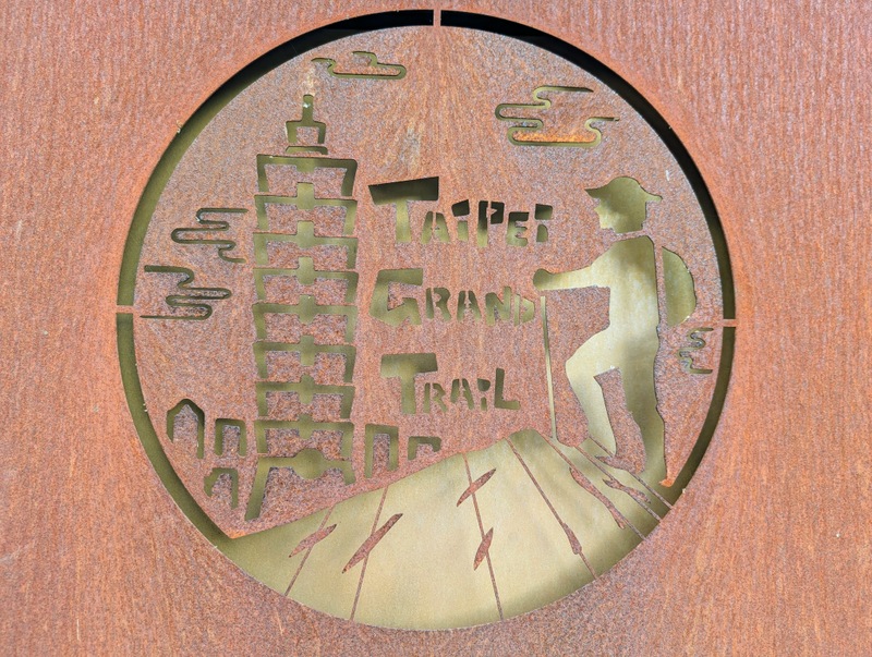
The Taipei Grand Trail is a project of the Taipei City Government, set up in 2018 by the Taipei City Geotechnical Engineering Office, Public Works Department. This year’s TGT is the same route as last year’s, but upon completion of it all, instead of going in person to their office, you apply for the certificate online, and they send it and any gifts to your postal address. They use the Taiwan-run Hiking BIJI app, which is reliable and fairly accurate (apparently more accurate than Strava for Taiwan’s steep hills and valleys), but it does require a certain amount of Chinese language to make it all work as it should. Download the maps in advance from the app and then follow along each route, stopping every time you hear a ‘ding’ to collect a ‘treasure’. Each section of the trail has 7 treasures to collect, each showing a picture of something relevant to that section, and each section has 2 circular metal signs along the trail for photos. Keep an eye out for those treasures, because if you miss one, then you’ll have to retrace your steps to collect it.
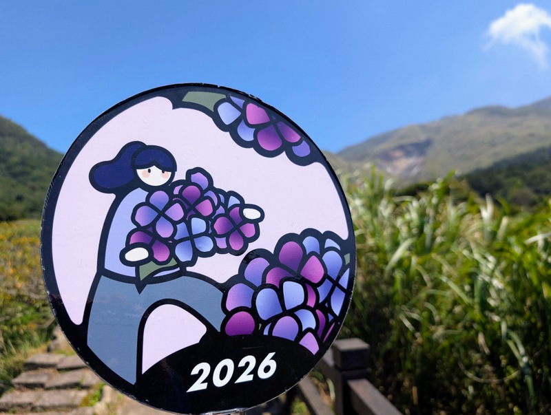
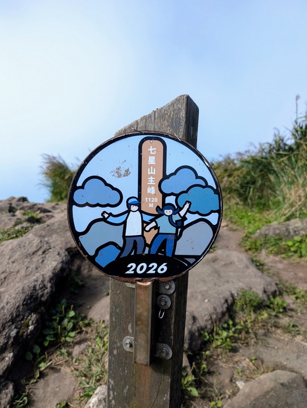
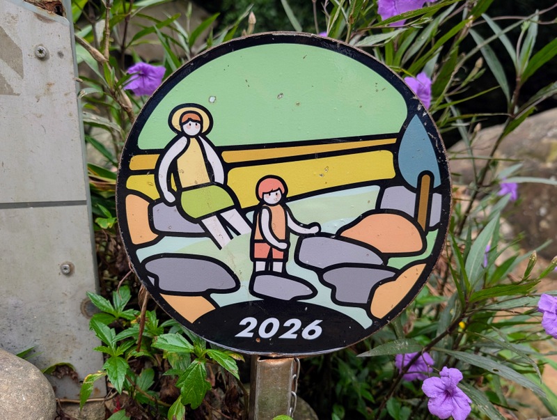
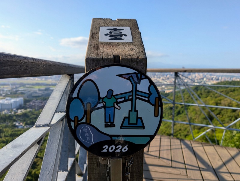
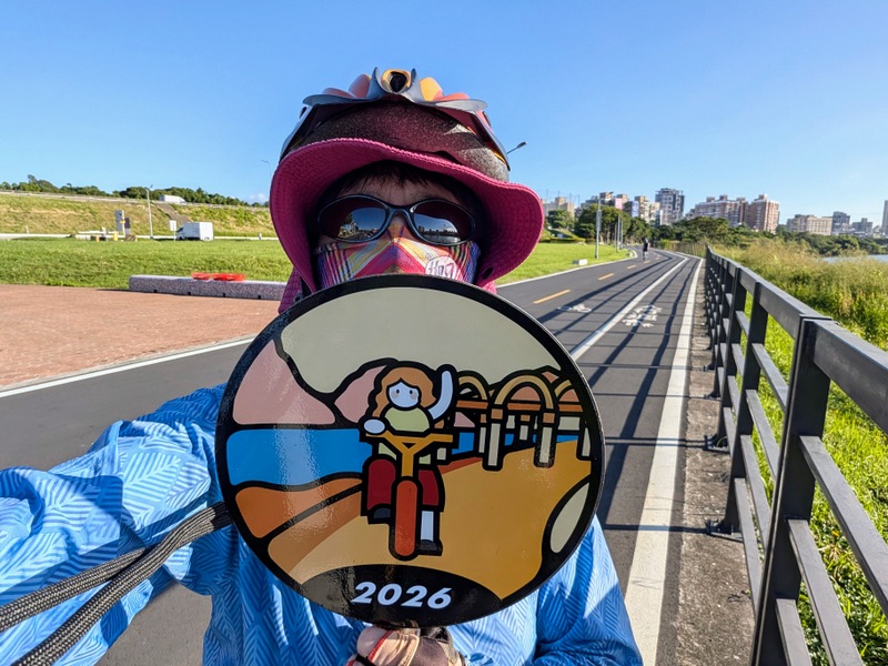
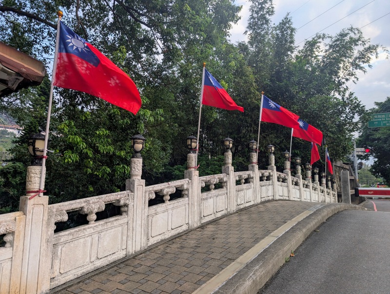
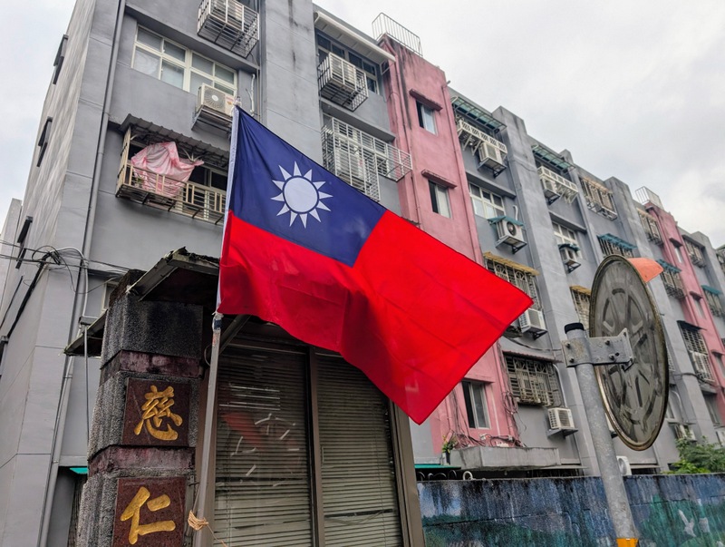
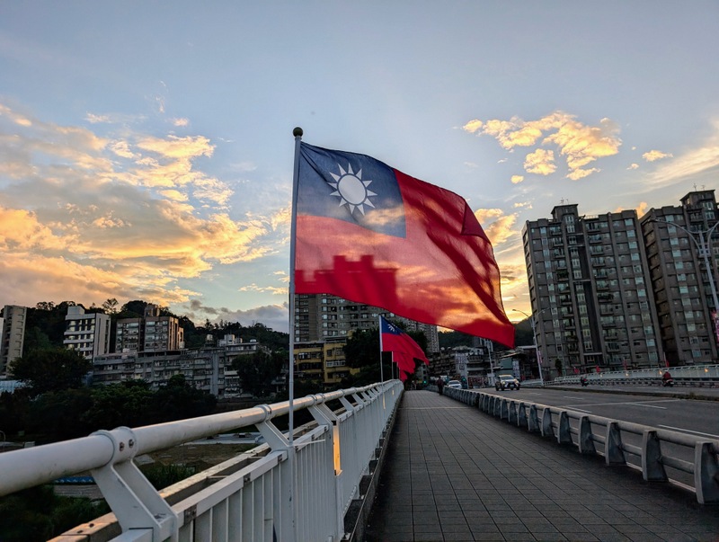
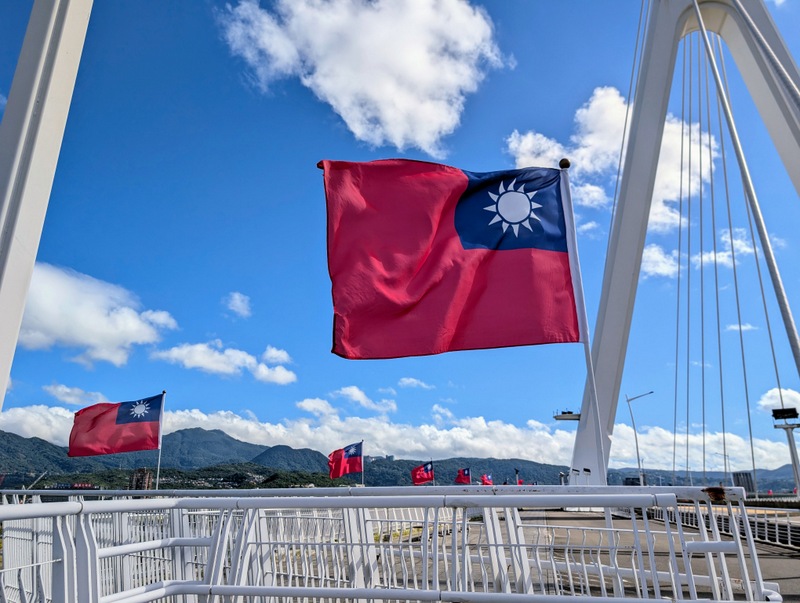
Looking for 8 free days with good weather in a calendar is not easy, but starting with the 4-day weekend for Mid-Autumn Moon Festival at the end of September, then a 3-day weekend for Taiwan’s National Day in mid-October, and 2 Saturdays in between mean I’ve been able to focus on completing the Taipei Grand Trail 2026 in 4 weekends. Lots of other people have had the same idea, and I’ve met the same people on different days in different places, all going ‘ding ding’ and collecting treasures at the exact same moment! We’re all making the most of these holiday weekends. Oh yes, and as it’s October and Taiwan’s National Day, so there are flags everywhere fluttering in the breeze, which adds a nice bit of bright red to the landscape.
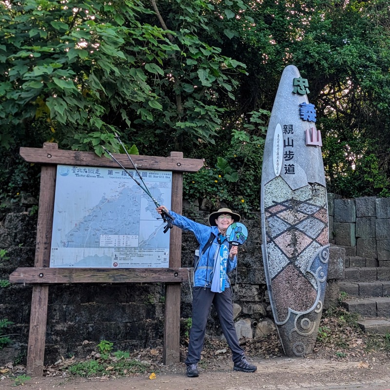
Section 1:關渡站至二子坪 Guandu MRT Station to Erziping in Yangmingshan 陽明山 National Park: Friday, September 25, 11.7 km, 973 m elevation gain – the most ascent of any section. It’s uphill all the way, and mostly in the shade, so there’s not much breeze.
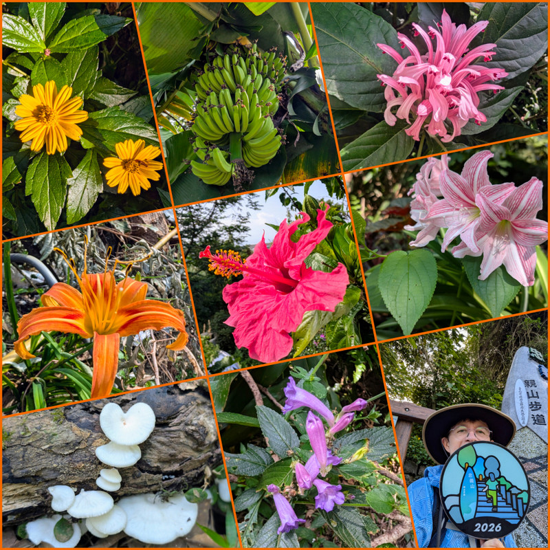
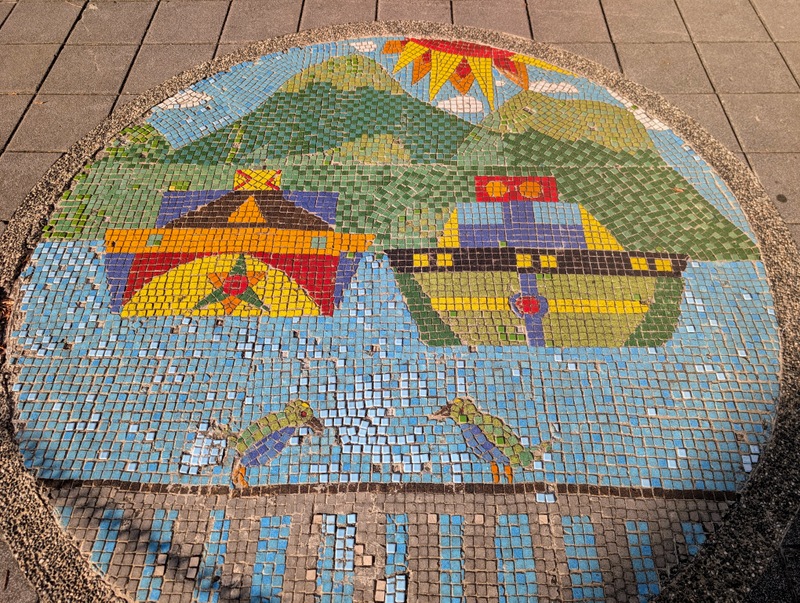
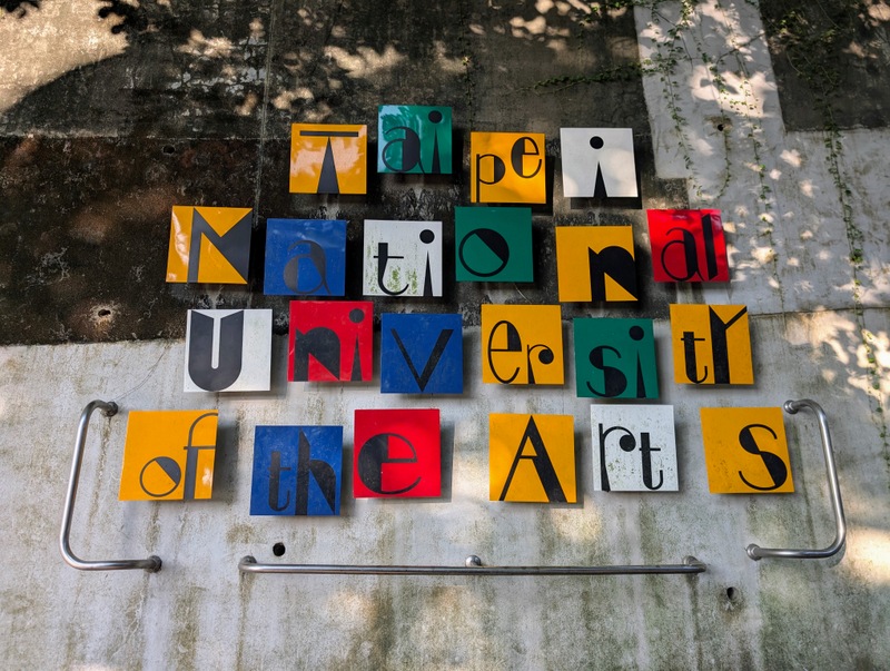
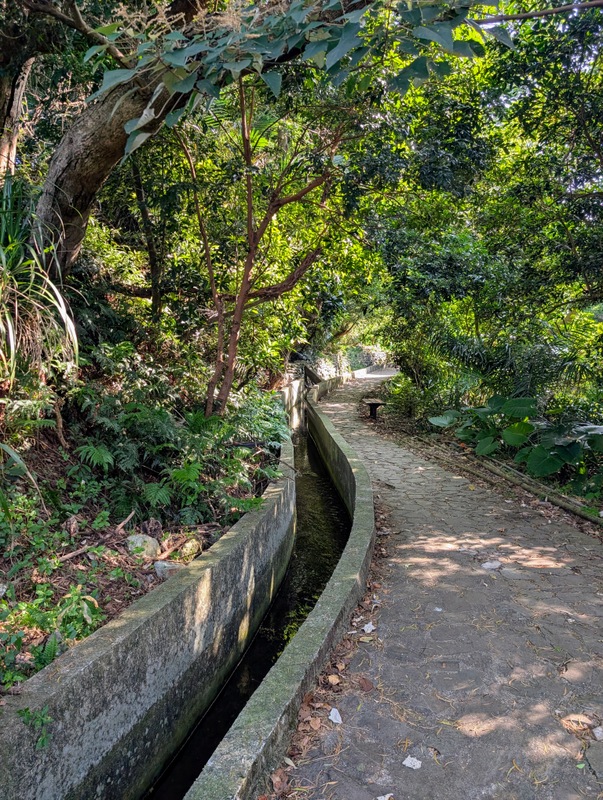
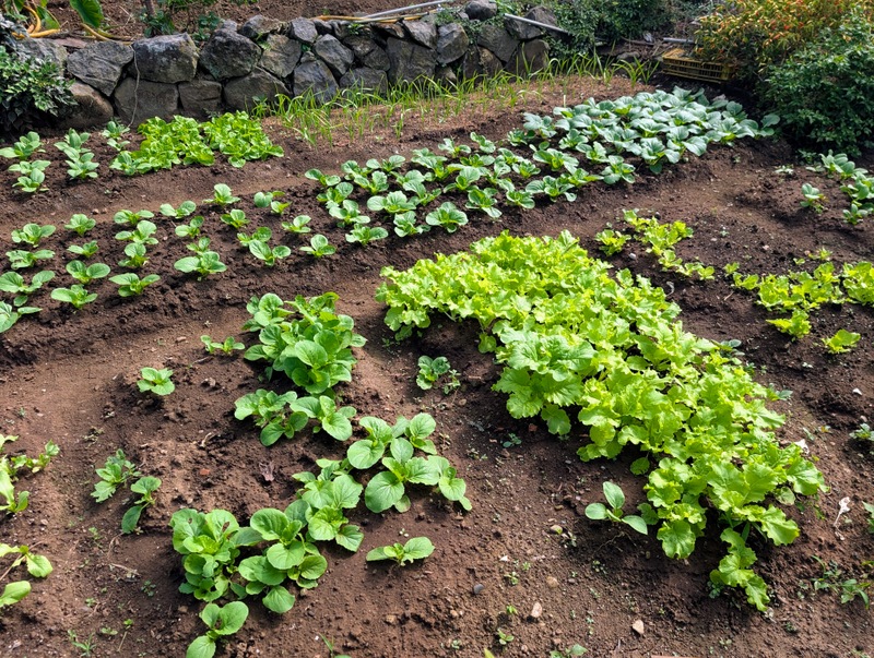
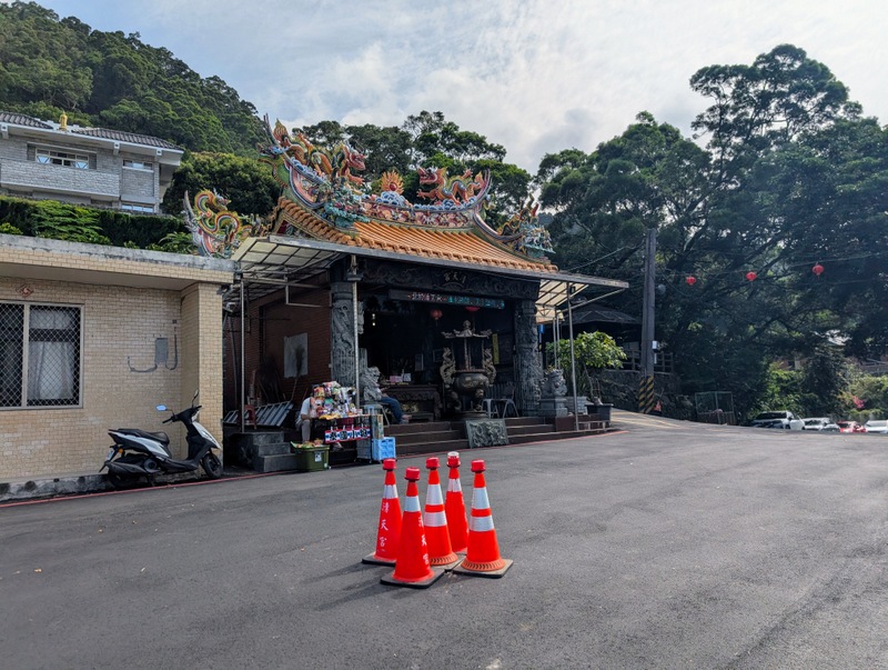
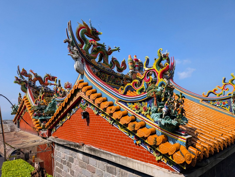
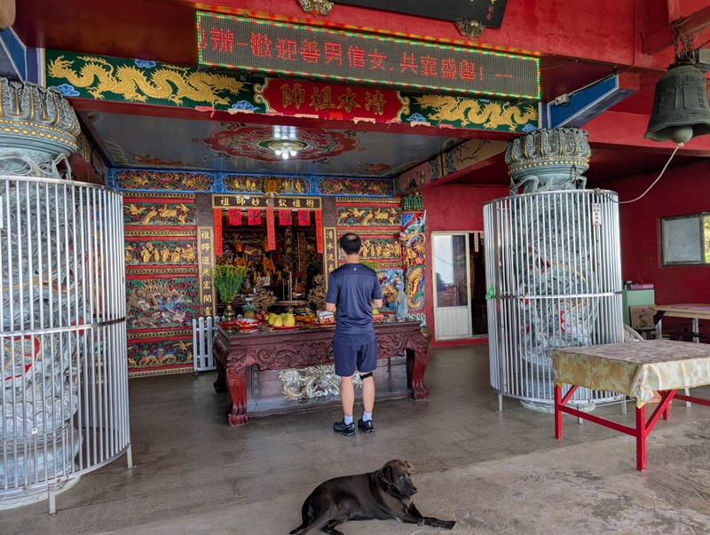
The Taipei Grand Trail starts at the back of Guandu MRT Station, near the Guandu Elementary School, and heads uphill through the Taipei National University of the Arts. Then, along by a tennis club, graveyards, a golf course, new housing development, irrigation channels, and smallholdings to Qingtian Temple, where there are regular buses throughout the day. This temple – and all the temples I passed over the weekend – were busy for the Moon Festival. There used to be a huge tree in front of the temple, but people say it was diseased, so it’s gone, and now there’s just a big empty space with a group of traffic cones marking the spot. I’ve always wondered why there’s no shop up here, so it was a nice surprise to see a man selling Thai snacks. From then on, the path goes up and up on the mountain trail to Erziping Visitor Centre in the Yangmingshan National Park.
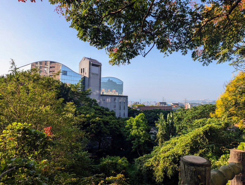
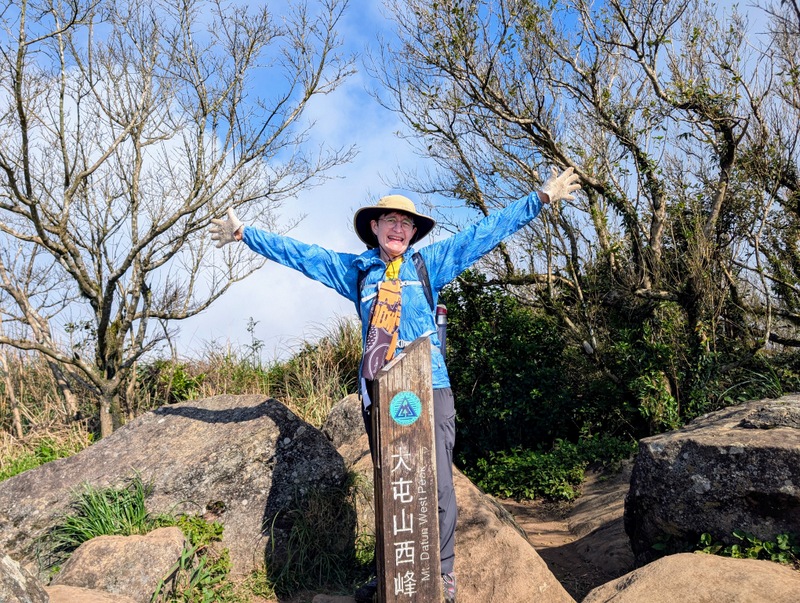
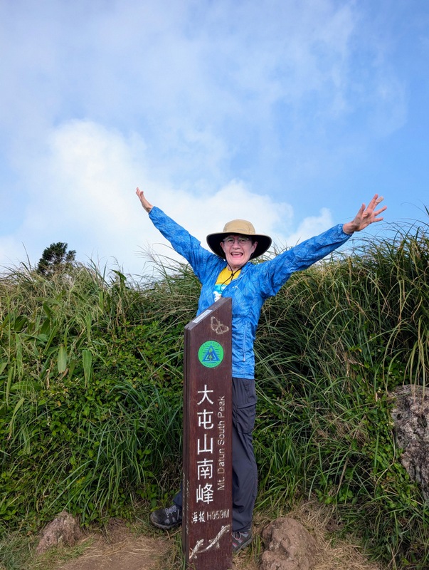
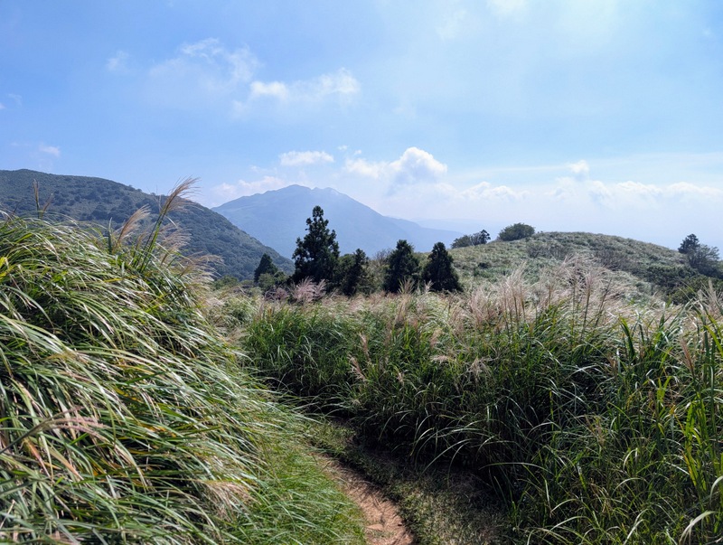
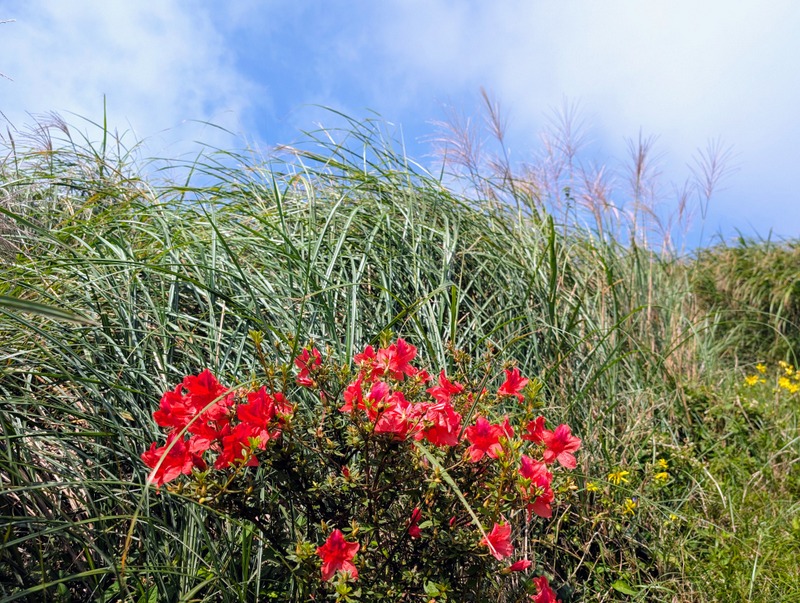
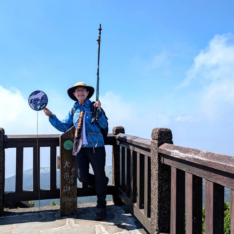
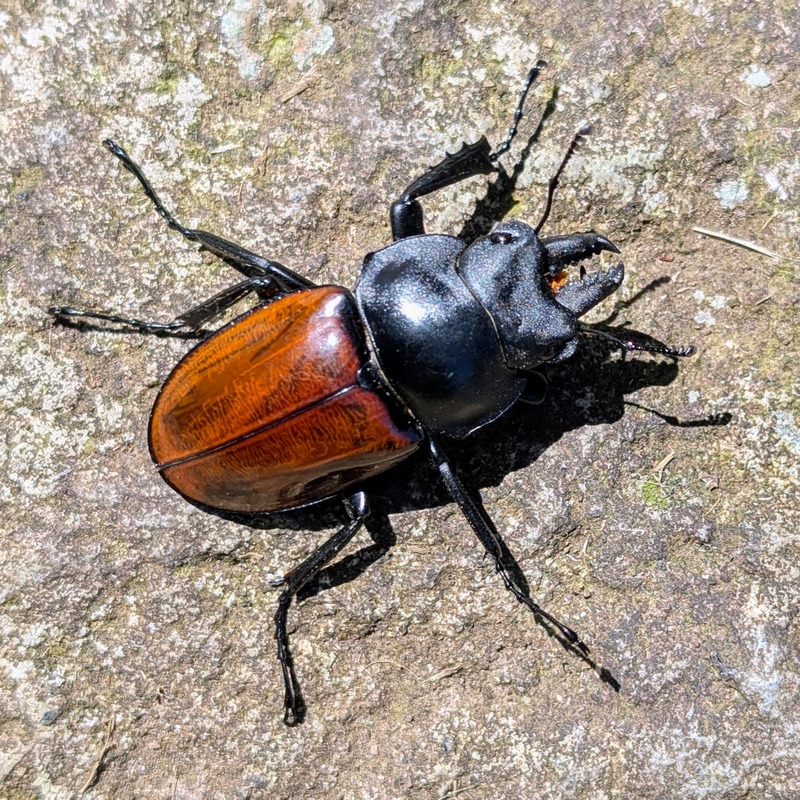
Section 2:二子坪至小油坑 Erziping to Xiaoyoukeng via Datun West, South & Main Peaks 大屯山 & Zhuzihu 竹子湖: Saturday, September 26, 10.7 km, 693 m elevation gain – I’m surprised it’s only 693 m; those 3 mountain peaks are very steep!
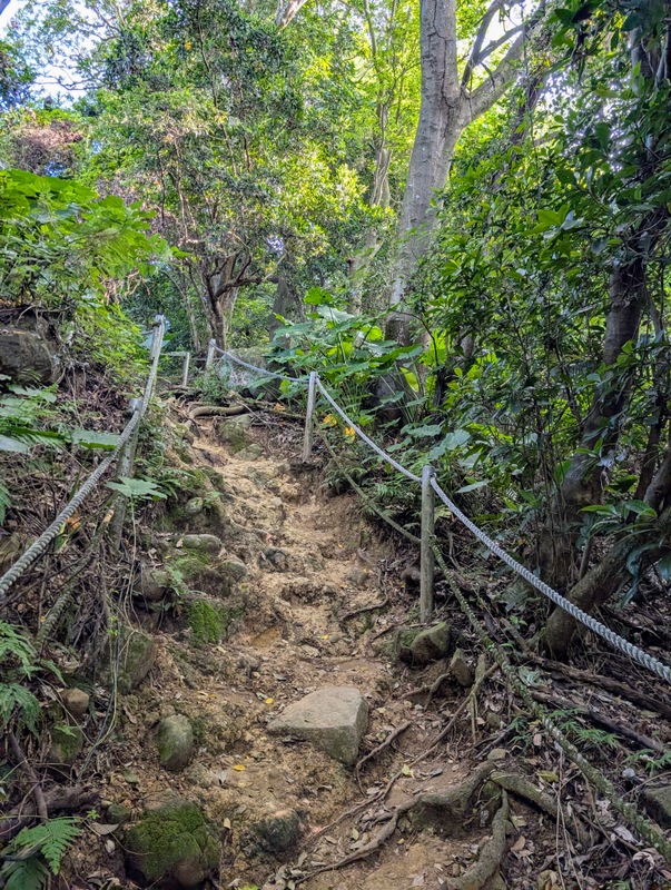
Another hot and sunny day, and with no recent rain, the paths were dry – that’s important; otherwise the mud makes the steep paths very slippery. The very steep sections on the west and south peaks have fixed ropes to help you pull yourself up and down – wearing old gloves helps considerably, and it’s worth getting there early to avoid traffic jams on those ropes! There were thousands of people up there making the most of the holiday weekend; all the buses were completely full, with standing room only, and long lines.
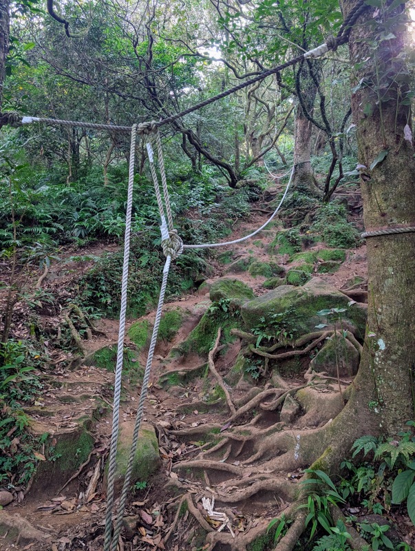
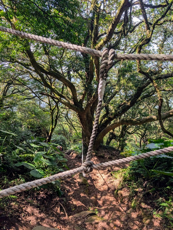
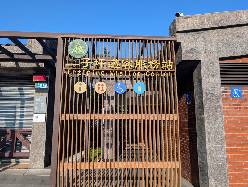
The trail starts at the Erziping Visitor Centre, and you retrace your steps from the previous section to Miantianping Pavilion.
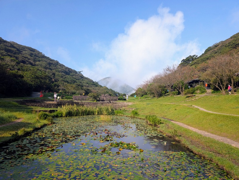
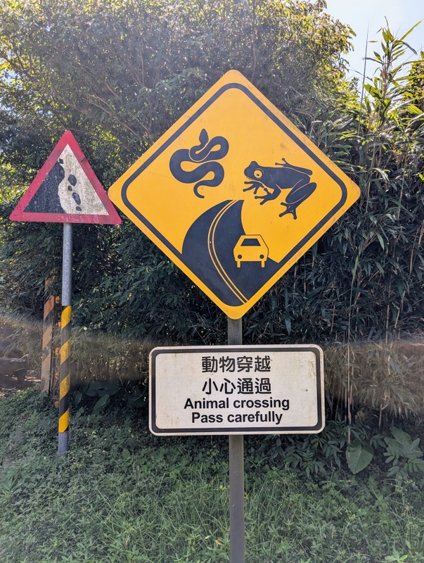
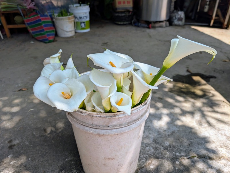
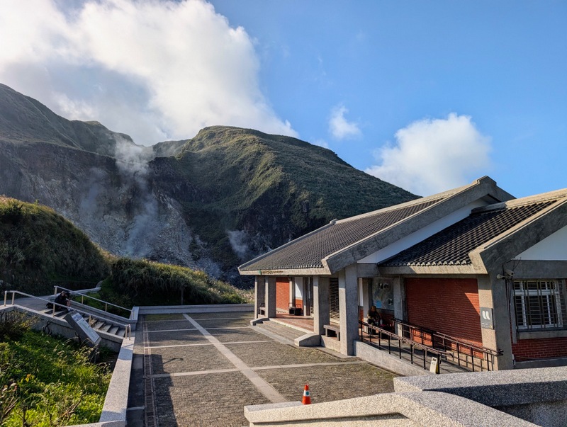
The route then goes steeply up to Datun West Peak (982m), Datun South Peak (957m), and then up to Datun Main Peak (1092m). Once down to Anbu, the route goes along and further down to Zhuzihu, famous for its calla lilies and hydrangeas. Autumn is not their flowering season, but there were some for sale. The route passes a few restaurants, where they also sell bottles of water, and ends up at Xiaoyoukeng, famous for its fumaroles and volcanic smoke, and the terrible smell!
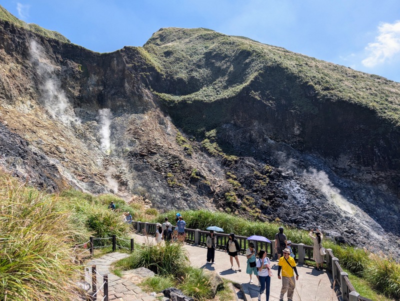
Section 3:小油坑至風櫃口 Xiaoyoukeng to Fengguikou via Qixingshan 七星山: Monday, September 29, 12.4 km, 671 m elevation gain – one of the best walks in Yangmingshan!
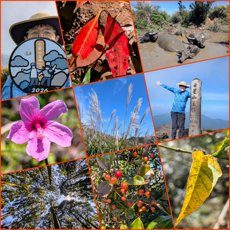
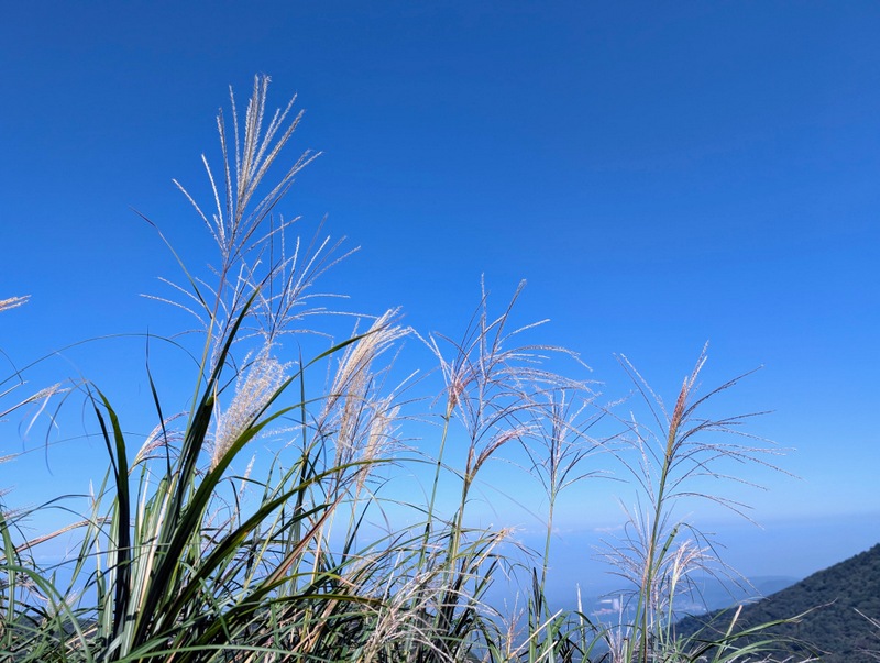
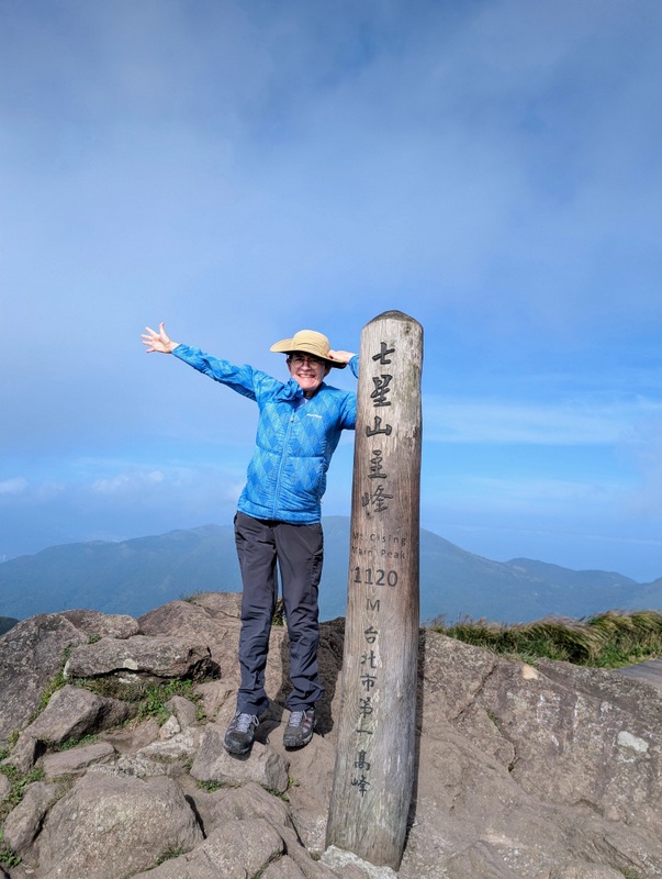
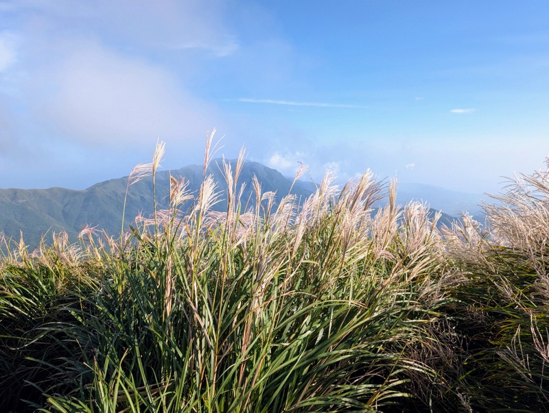
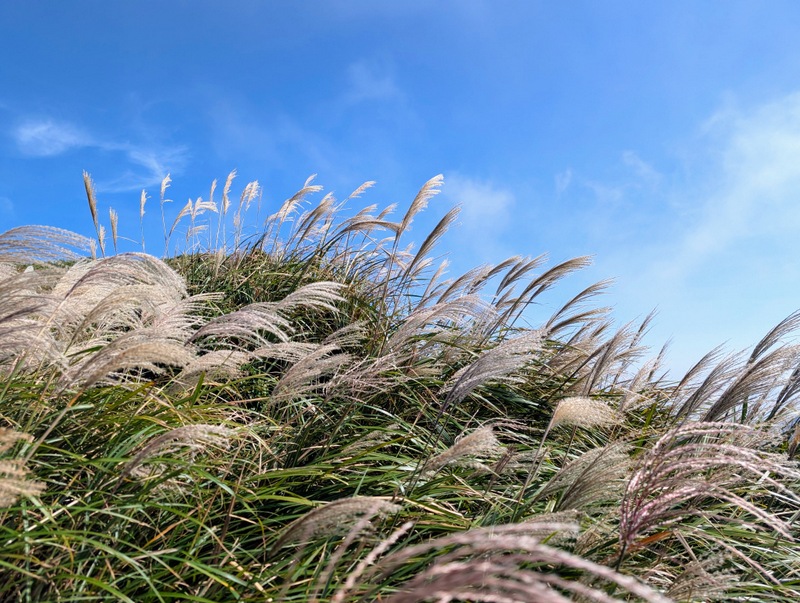
This was officially a day off for Teacher’s Day (Confucius Birthday), and with such glorious weather continuing, everyone was out and about. This is known as a long walk, starting with a short steep climb up to the top of a very windy Mt. Qixing, 1,120 m – the highest peak on the TGT, also the highest peak in Yangmingshan, Taipei City, and the highest dormant volcano in Taiwan – though when you see all that belching smoke coming out at Xiaoyokeng, it doesn’t seem as dormant as perhaps we are led to believe! The iconic silver grass, symbol of autumn, was just coming out and rustling in the wind. Very beautiful!
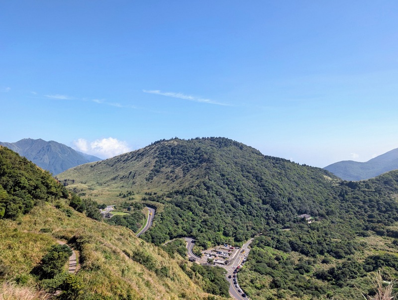
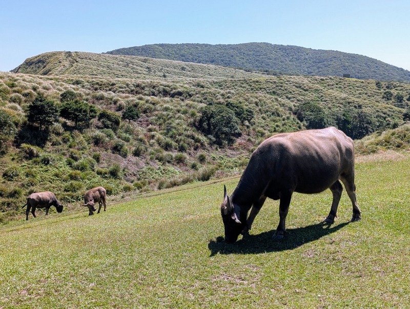
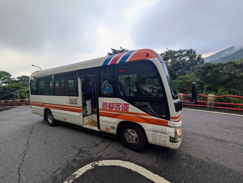
The route goes down to Lengshuikeng Visitor Centre, then to the cattle grazing grasslands at Qingtiangang, up to Shitiling and Dingshan, and down to Fengguikou, hopefully in time for the M1 bus at Fengguizui that comes just before 2:00 pm. If you miss the bus, you’ll have to wait 2 hours, or walk on down; anyway, the bus was packed, standing room only!
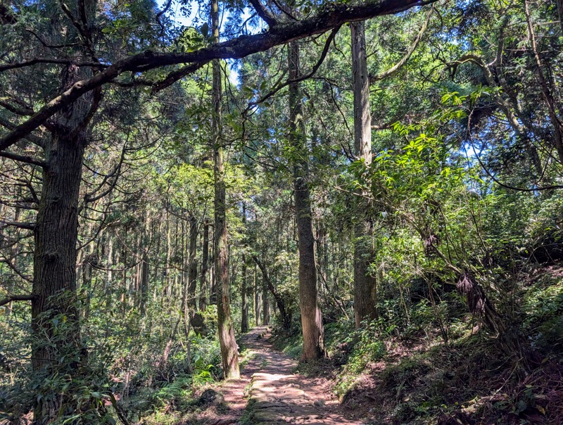
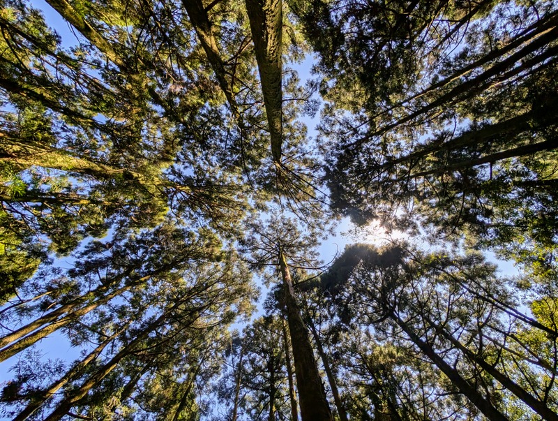
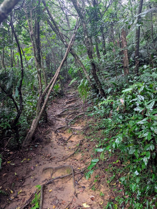
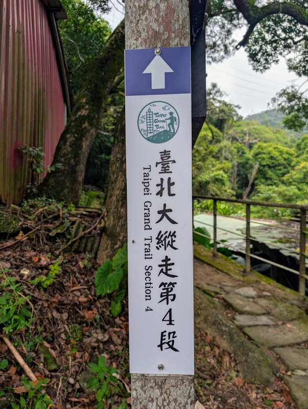
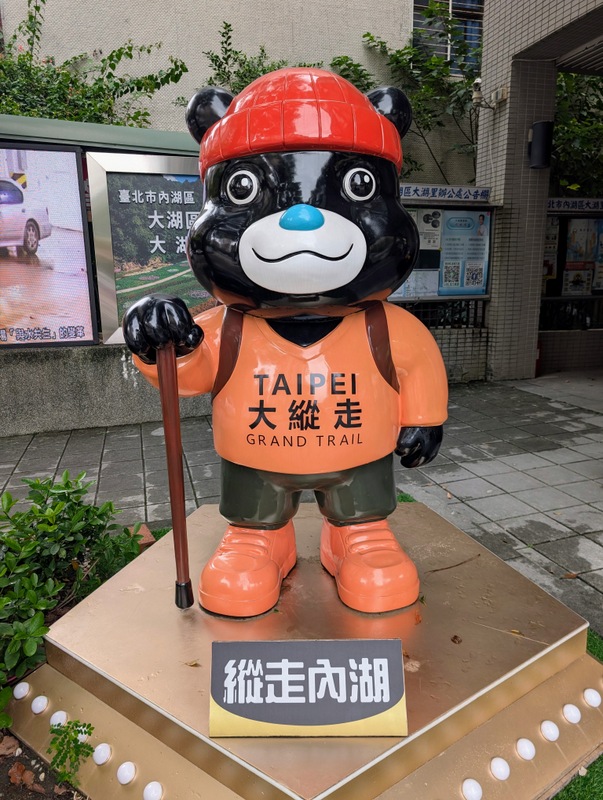
Section 4:風櫃口至大湖公園站 Fengguikou down to Dahu Park MRT: Saturday, October 3, 11.9 km, 394 m elevation gain – mostly downhill and mostly in a wet forest, an ideal walk if the weather is a bit drizzly.
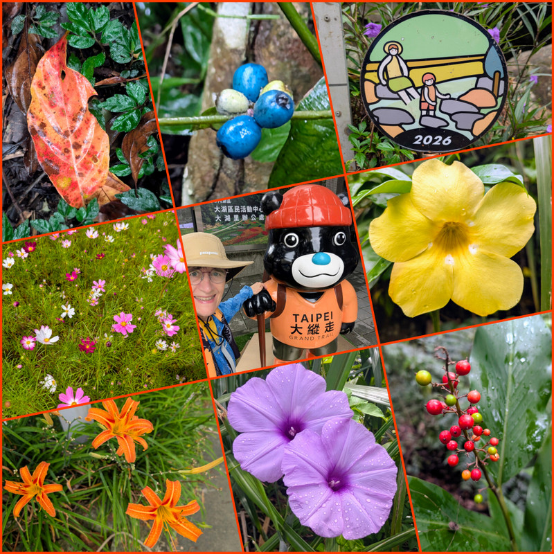
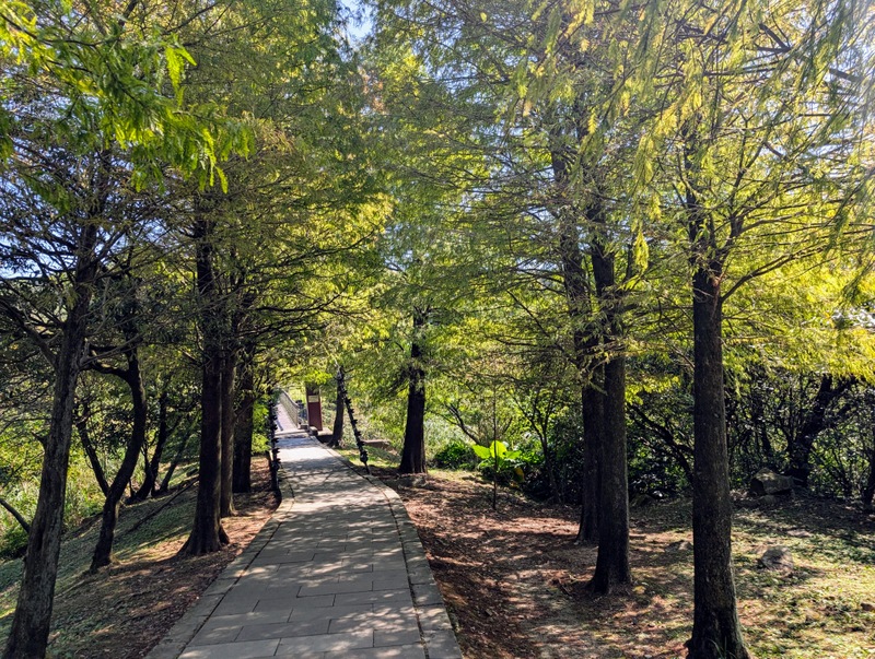
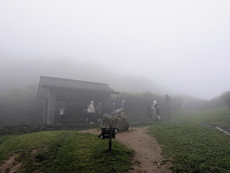
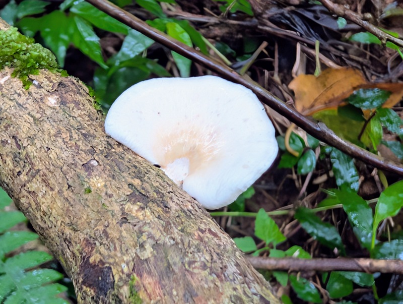
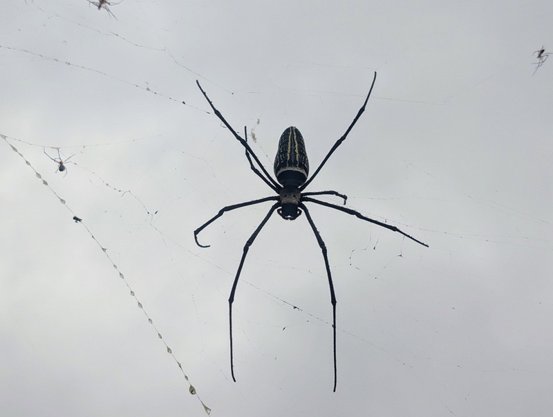
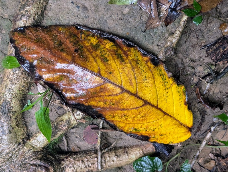
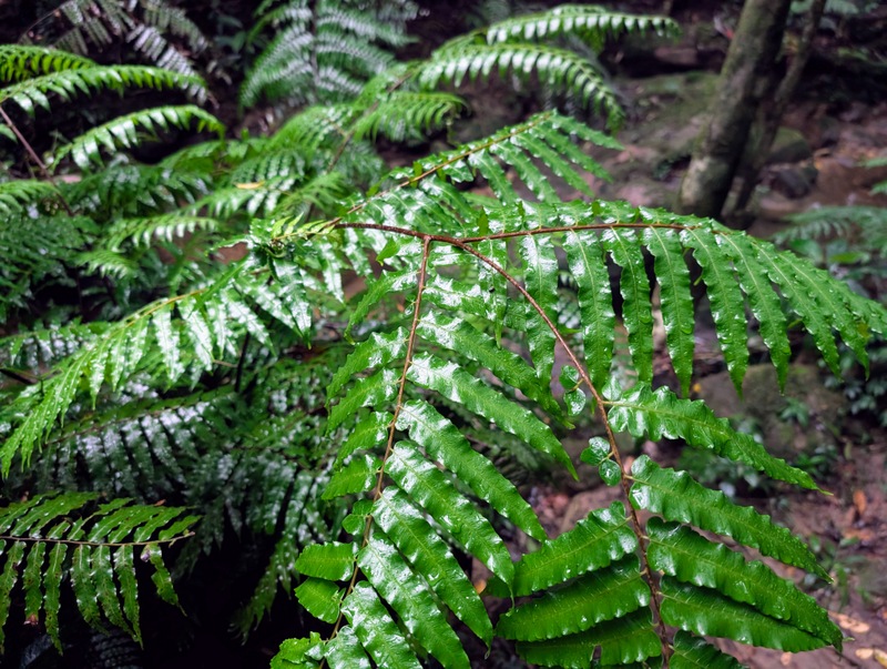
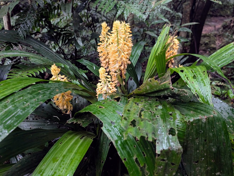
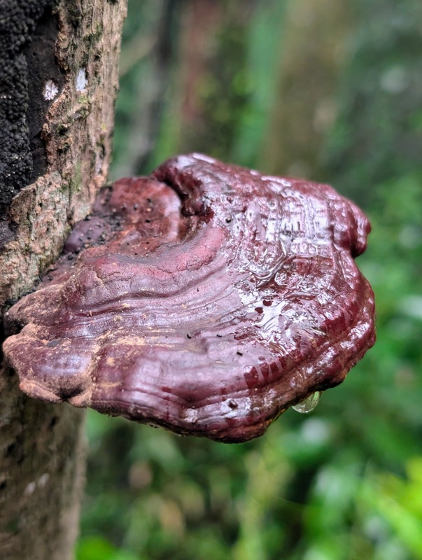
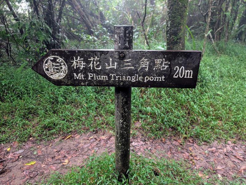
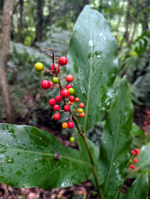
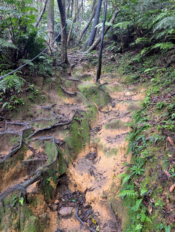
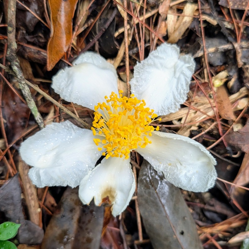
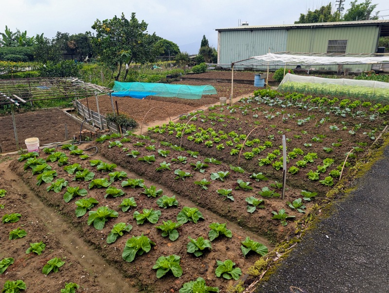
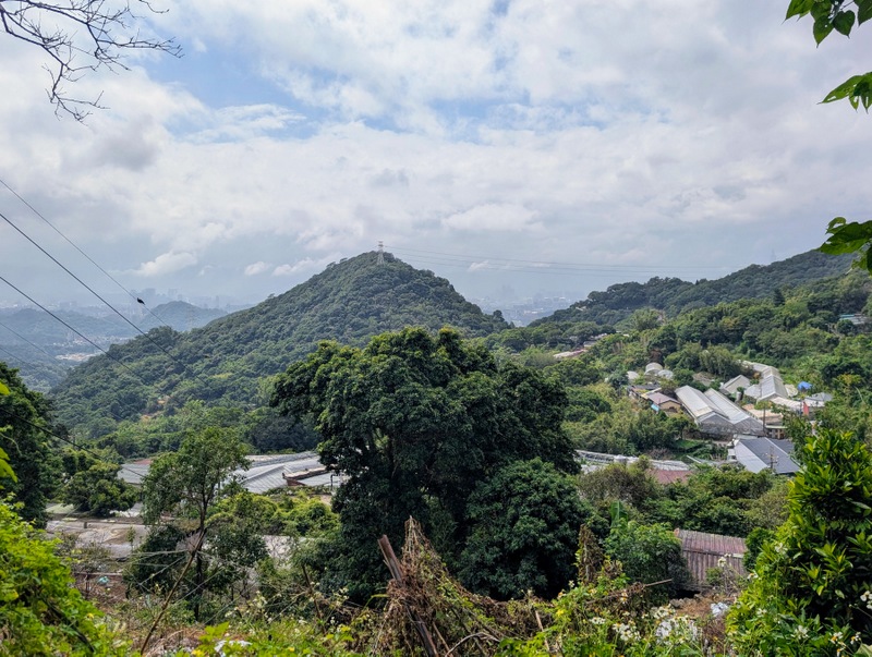
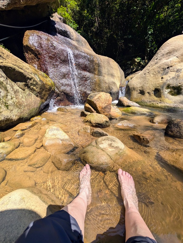
This was now a week after the long weekend of good weather, and yes, it was a bit drizzly, with the higher peaks of Yangmingshan in low cloud, while the lower slopes were alternating cloud and sun. It used to feel very isolated on this section of the trail, with temple statues emerging out of the dark forest, but now there are more people around – and it’s nice to see real streams of water, which are largely absent on the higher hills; and on TGT Section 1, they are confined to irrigation channels. The first part is uphill to Mt. Meihua (Mt. Plum) (642m), and then it’s downhill from there, all the way to Neihu, passing greenhouses that are mostly used to grow strawberries. The logo picture used for this section of the trail is of people paddling in the Yuan-Jue Waterfall, and yes, that’s exactly what I did, along with lots of other people; it’s a great place on a hot day! The walk starts from Fengguikou, and the small M1 bus goes there from outside Jiantan MRT Station. On weekends and holidays, there is a bus at 6:30 am; it’s worth getting!
Section 5:劍潭支線 Jiantan Trail: Jiantan MRT Station to Dahu Park MRT Station: Friday, October 9, 14.5 km, 702 m elevation gain – surprisingly the second-highest elevation gain of the whole trail, and quite a long walk; it was up and down all day!
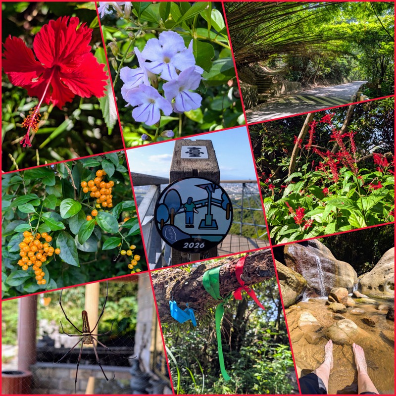
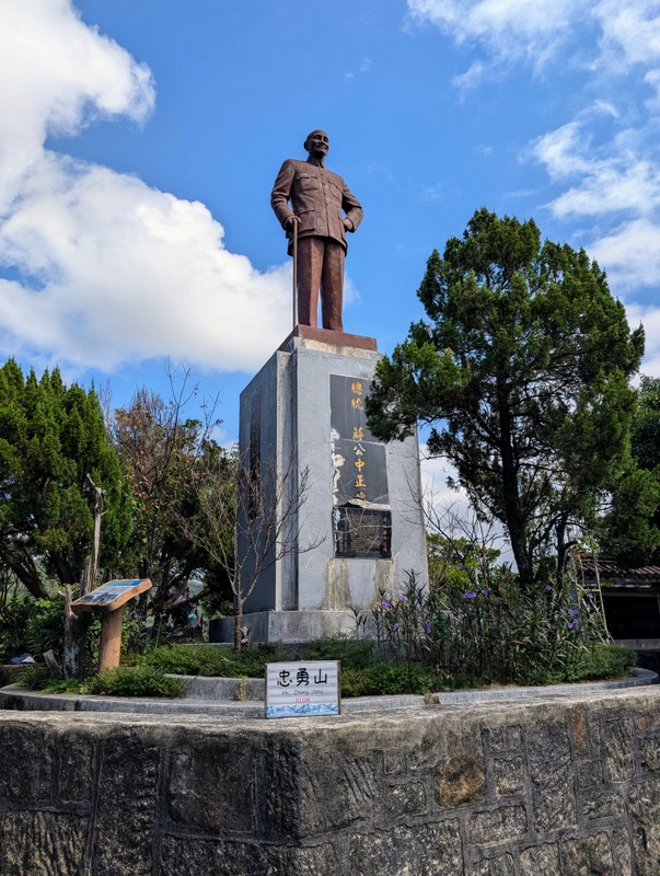
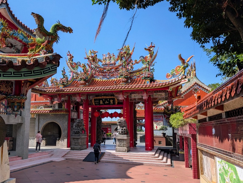
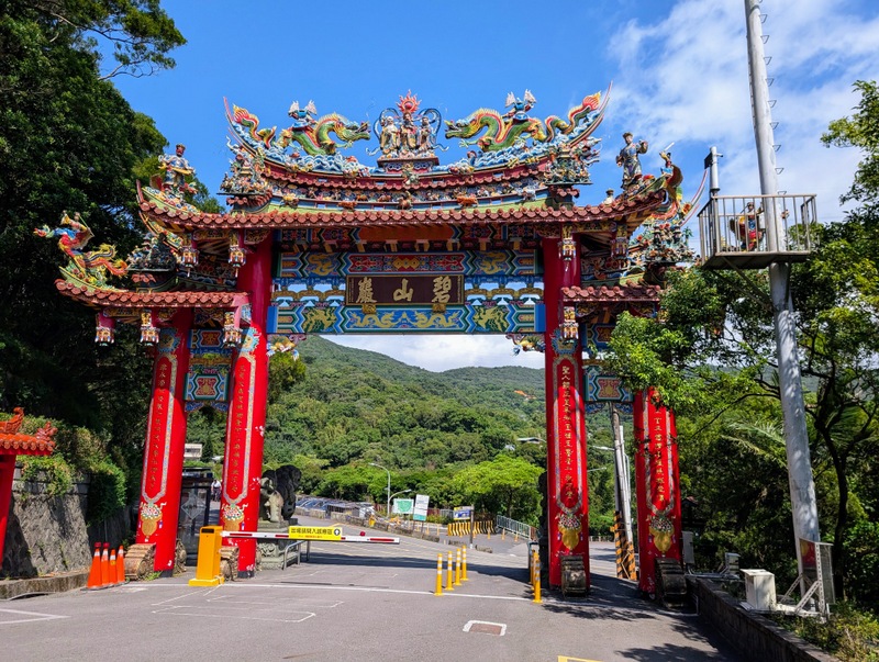
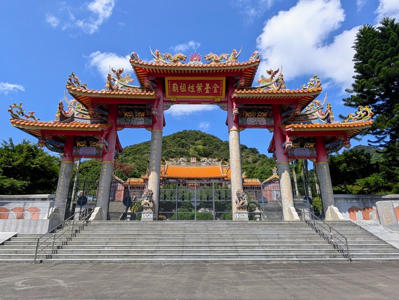
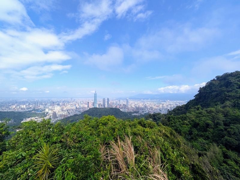
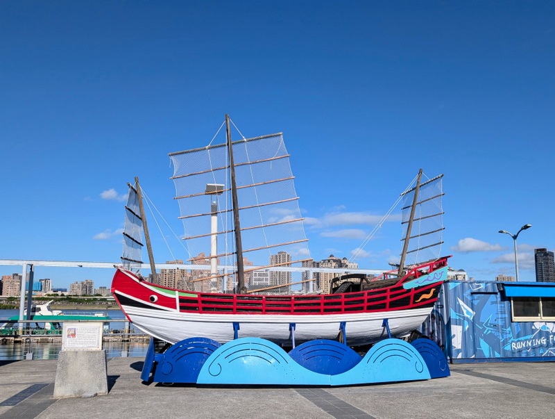
The TGT is shaped a bit like the number ‘8’, and the middle bit, crossing Taipei City from west to east, is this one, Section 5, maybe the easiest and most popular section of the whole trail. There are always lots of people out for their daily exercise. The trail starts by the side of the Grand Hotel, and there’s a new viewpoint on the top of a large wooden ark. In the past, this area was closed off for military use, and some areas are still out of bounds – check out the abandoned sentry boxes, all numbered, leading to the viewpoint at Lao-Di-Fang. There are good views on one side of the ridge over towards Songshan Airport, and on the other side towards the National Palace Museum. Further along, eastwards, are many temples, graveyards, and a hill, Zhong-Yong Shan 忠勇山 (310 m), with a Chiang Kai-Shek statue on the top. Bishan Temple always has lots of people visiting; it also has toilets, a water machine, a vending machine for snacks (not just for eating – many are presented at the temple as offerings), and even a place selling coffee (by donation) with a nice view. The temple is officially the end of Section 5, but it’s nice to walk on down to the Yuan-Jue Waterfall for more paddling, and then down to Dahu Park MRT Station, the same ending as Section 4.
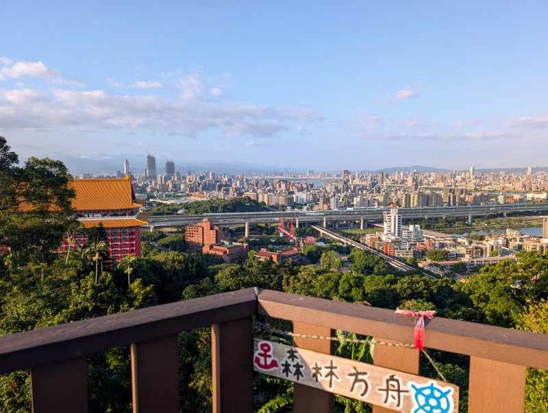
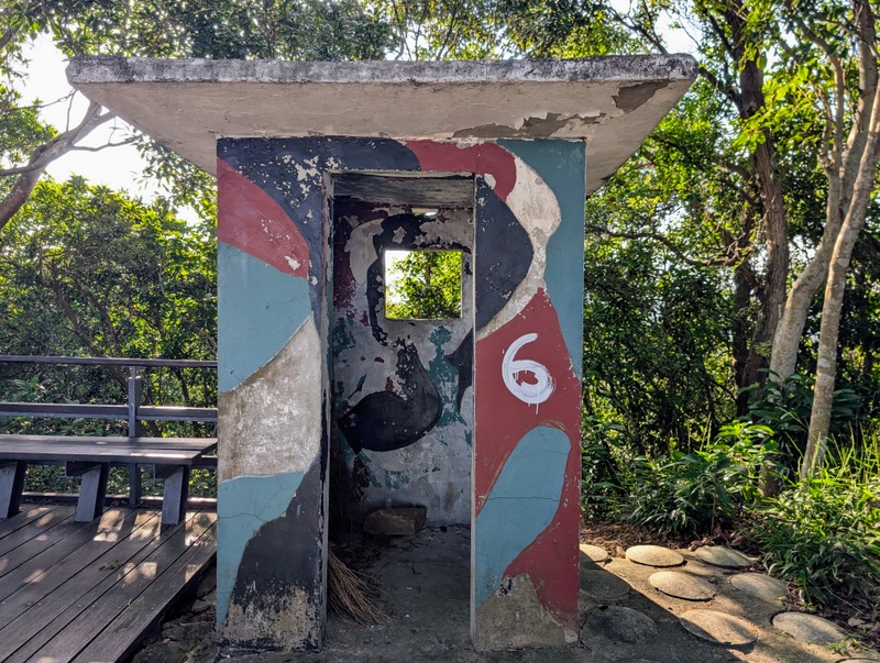
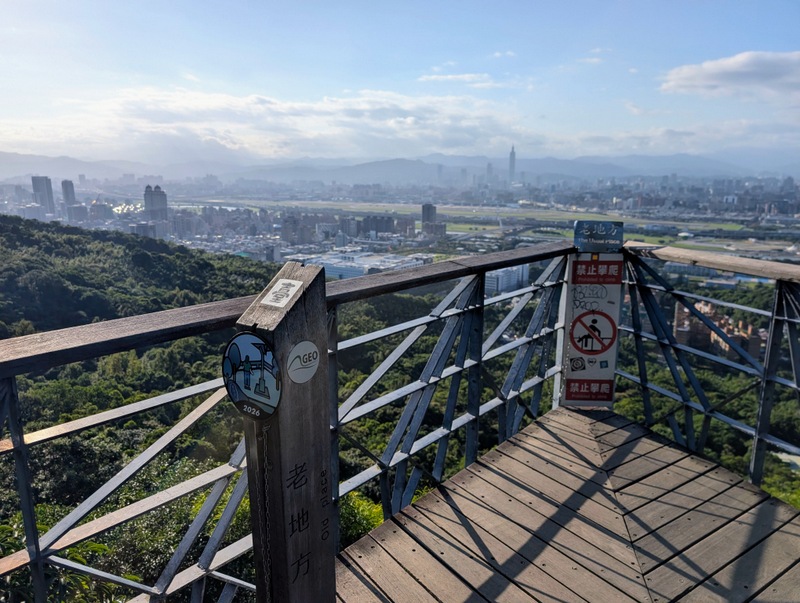
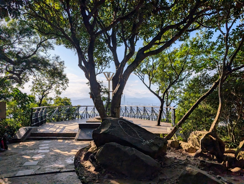
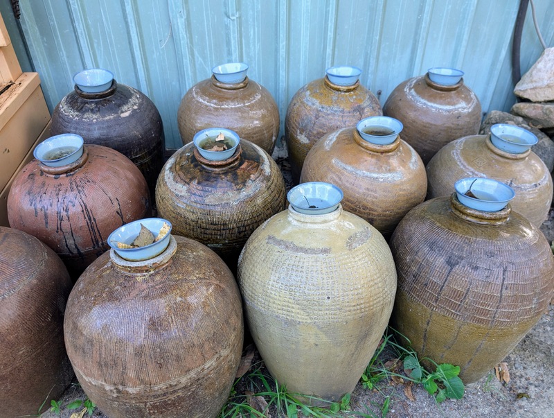
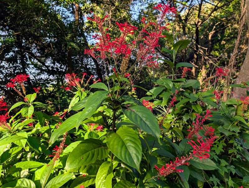
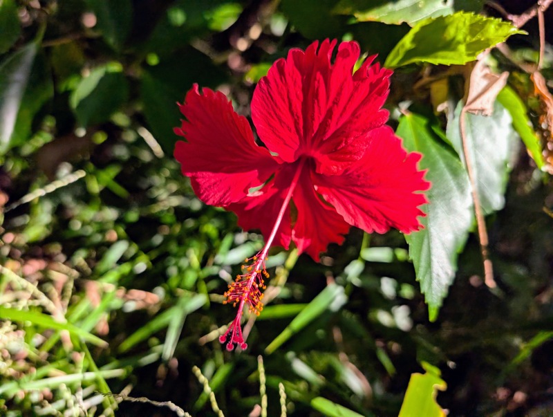
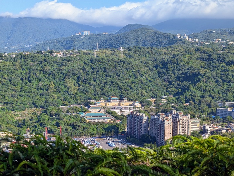
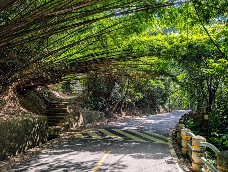
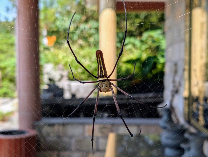
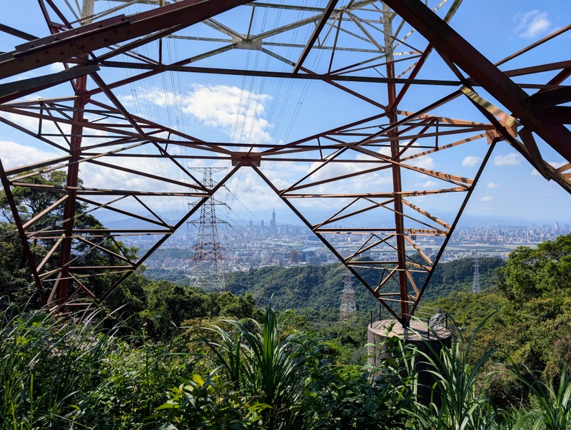
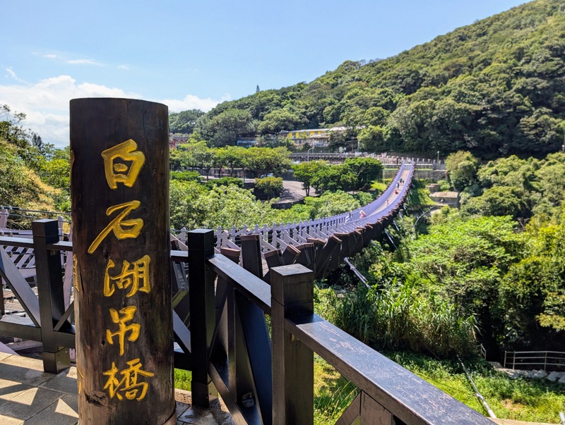
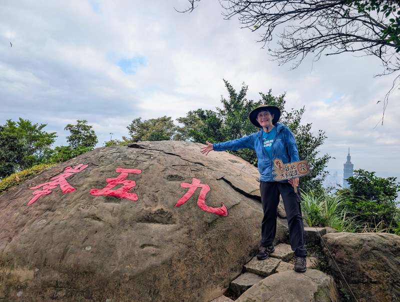
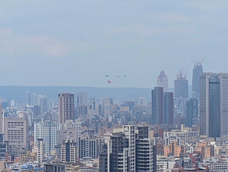
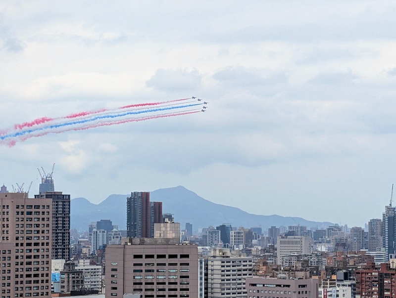
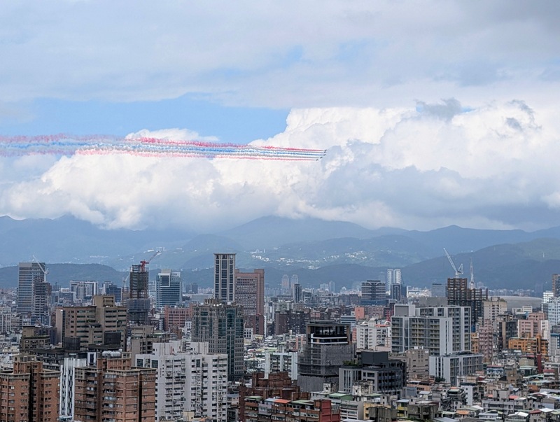
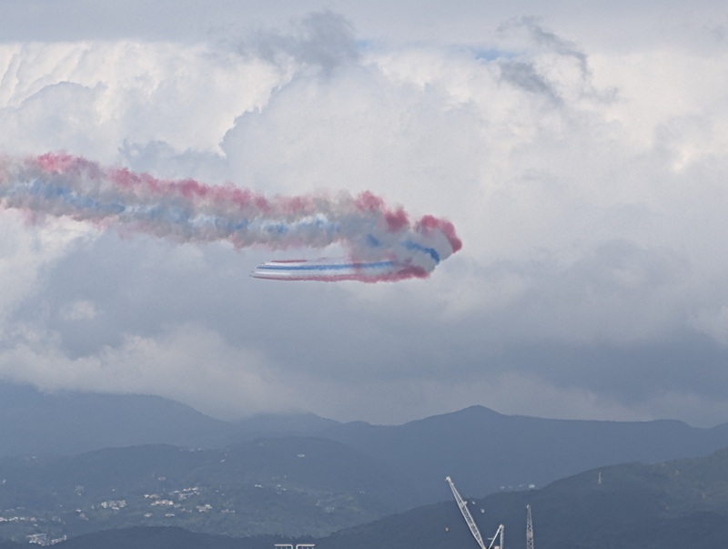
Section 6: 中華科大至麟光站 China University of Science and Technology (CUST), Nangang to Linguang MRT Station via 95 Peak: Saturday October 10, 10.7 km, 629 m elevation gain – this day was ‘Double Ten’, 10-10, Taiwan’s National Day, so it was fun to spot the helicopters carrying the Taiwan flag in the far distance, and the fly-past late morning with the red, white and blue smoke trailing behind!
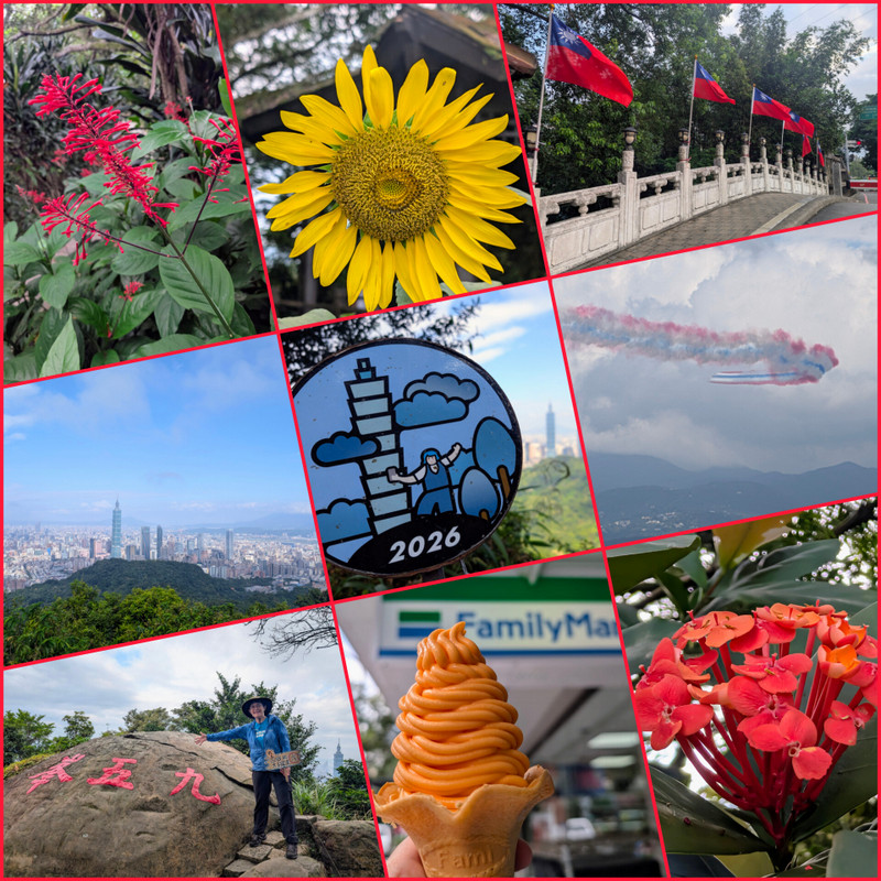
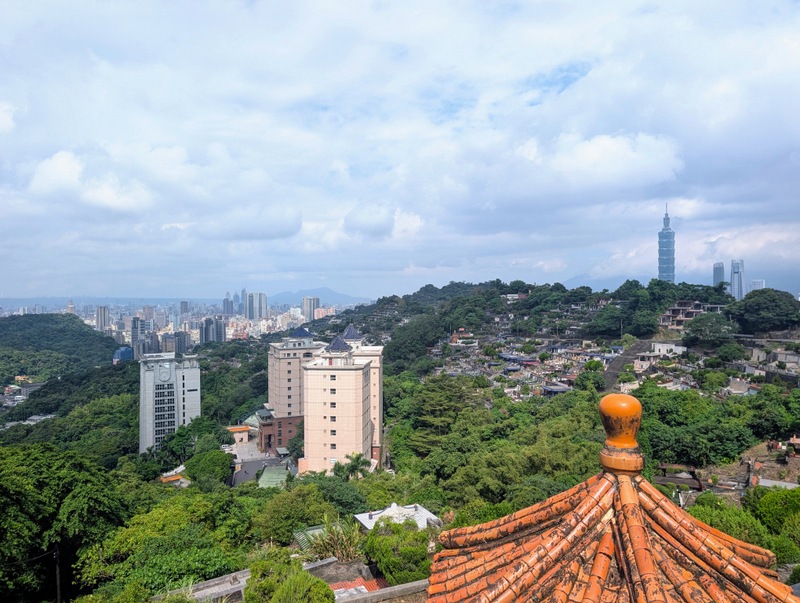
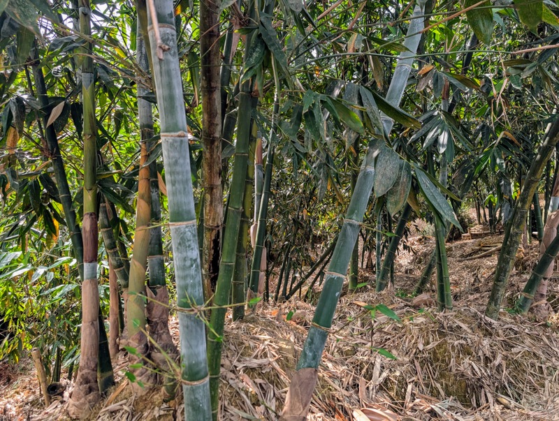
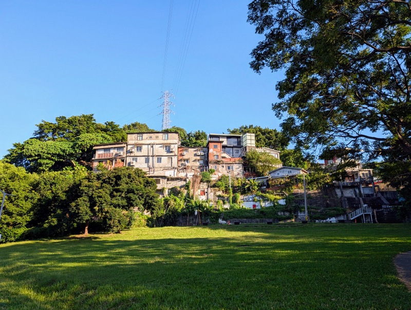
Section 6 starts with a long, hot and humid climb of 90 minutes to Mt. Nangang (374m), where the red pulley station is located, also the 95 Peak 九五峰 (375m), and Mt. Thumb. Lots of steep ups and downs for the rest of the route, which winds its way along and down through all sorts of interesting places, including an isolated residential high-rise estate (with a water fountain no less), graveyards, bamboo groves, shrines and temples, along a ridge with good views of the city. At one viewpoint was a police officer keeping an eye on the far-off National Day aerial displays – that was a surprise! The endpoint is an ecological park full of old military tunnels, near Linguang MRT Station. And not forgetting ice cream at Family Mart, which has a different flavour each month – this one was Papaya…

Section 7:麟光站至捷運動物園站 Linguang MRT Station to Taipei Zoo MRT Station via Maokong 貓空 Tea Plantations: Saturday, October 17, 18.6 km, 677 m elevation gain – the longest walk of the whole trail and characterized by, oh, thousands of steps!
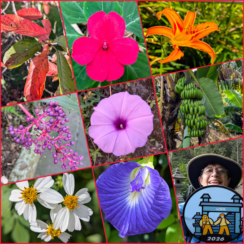
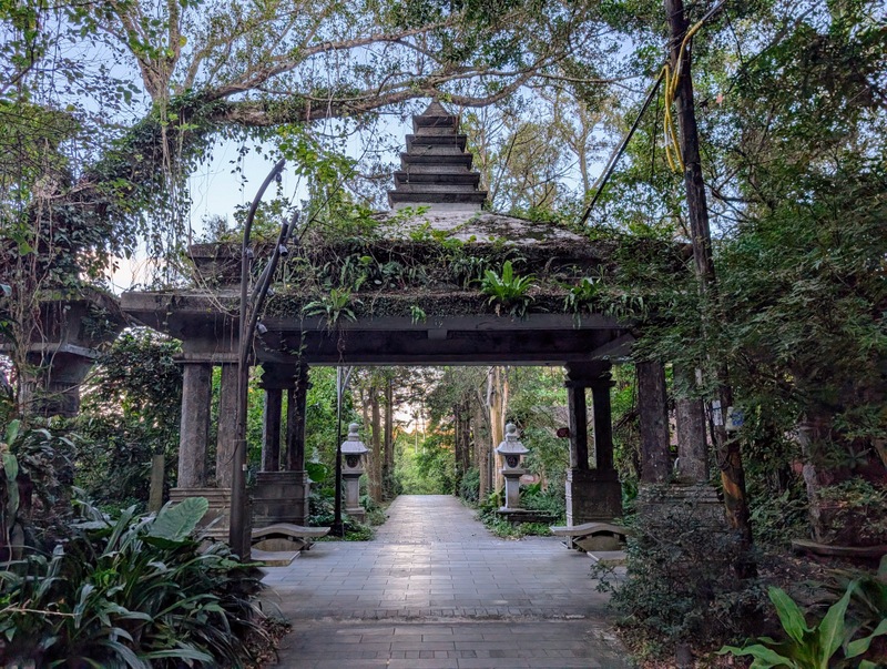
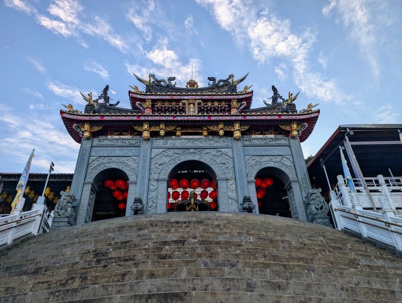
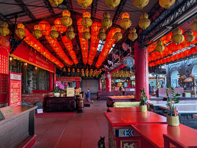
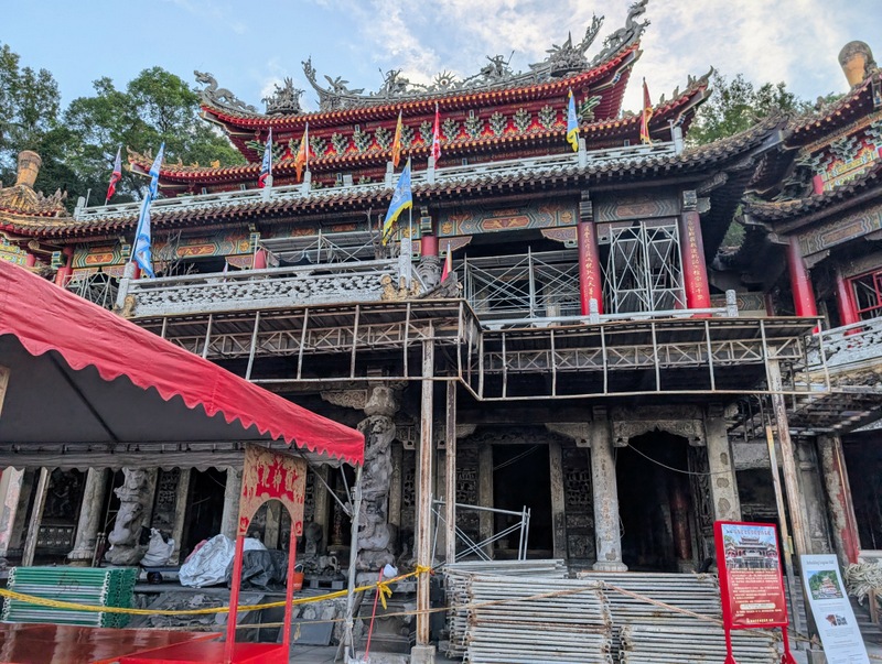
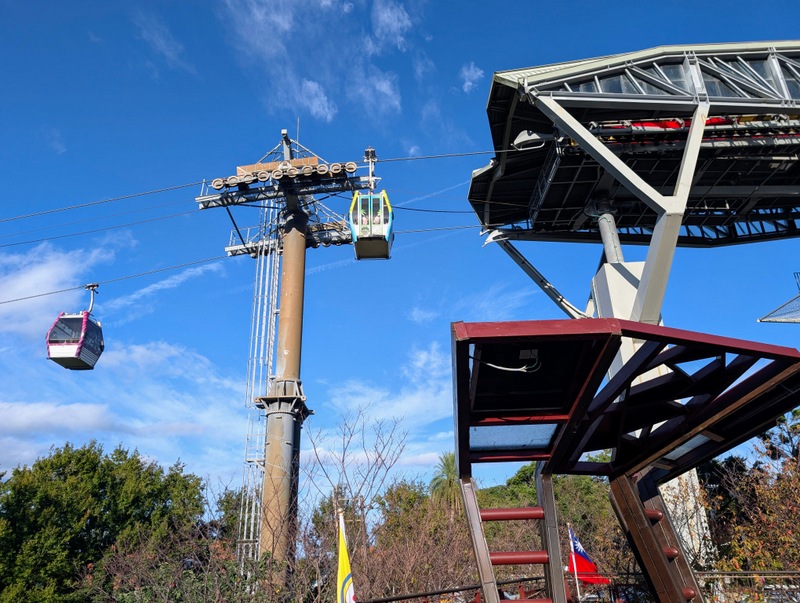
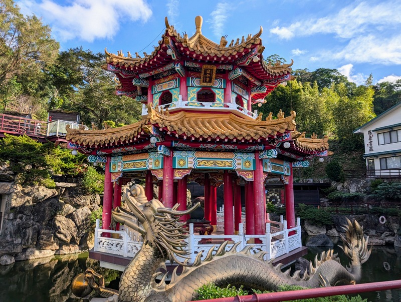
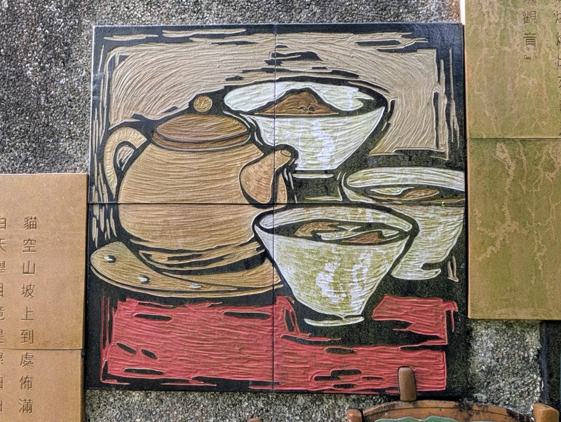
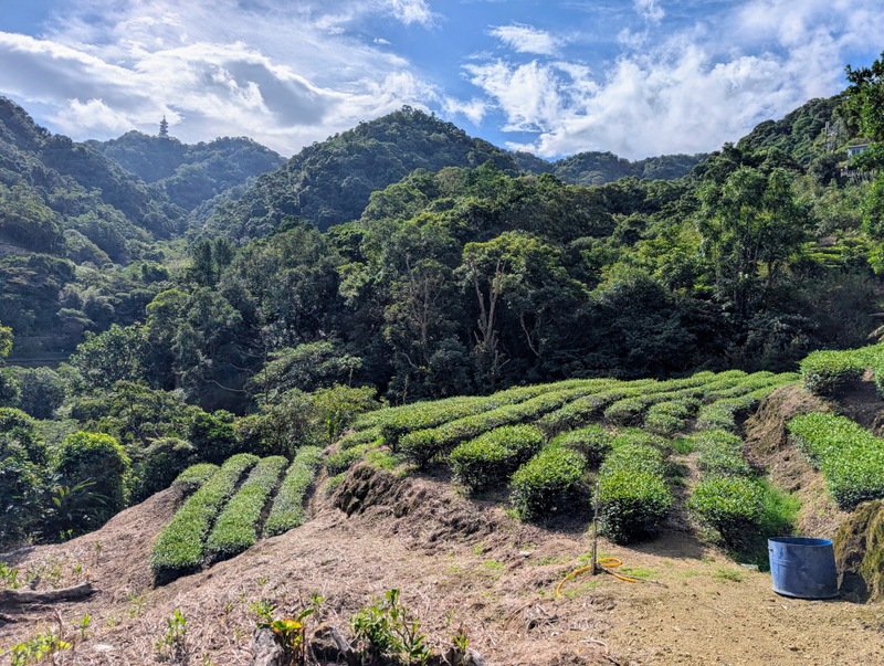
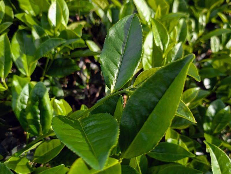
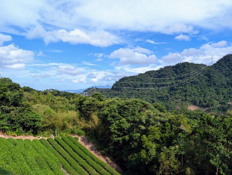
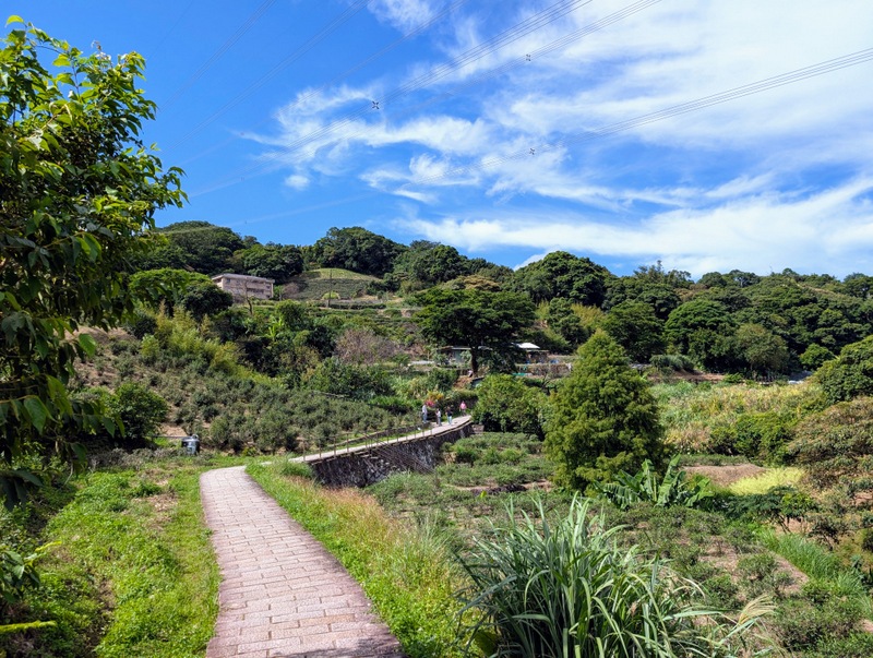
This section of the Taipei Grand Trail is completely different from all the others, starting off by climbing up the hills to escape Taipei by retracing the final section of Section 6, then down through the very busy suburb of Muzha, and then up to Maokong by the Zhinan Temple Trail, where visitors galore come up by cable car to enjoy the views, tea, and restaurants. It is worth starting out very early to beat the heat, so I did the first hour in the dark. It’s all very interesting, with steps numbered from 100 to 900 (there’s supposed to be 1,200 steps; it certainly felt like a lot!), and with lots of cats lying around, as fitting to the name. The name ‘Maokong’ means ‘cat holes’, describing the potholes (kettle holes) in the riverbed. Lingxiao Hall at the Zhinan Temple complex had a big fire in August due to an electrical fault, so it’s largely closed and under scaffolding, though in fact the trail goes through these temples so you can get a good view. (Apparently, “Lingxiao Hall featured in the 1969 Hollywood thriller, The Chairman starring Gregory Peck, where it served as a stand-in for Mao Tse-tung’s (毛澤東) residence in Beijing.”) Interestingly, Zhinan Temple was established in 1890 and built during the Japanese era, with some funding coming from the gold miners in Jiufen and Jinguashi, in NE Taiwan.
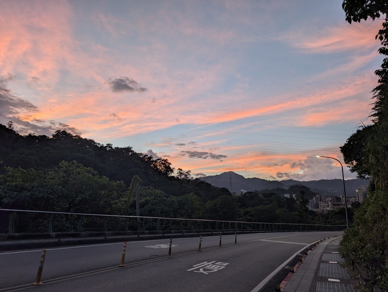

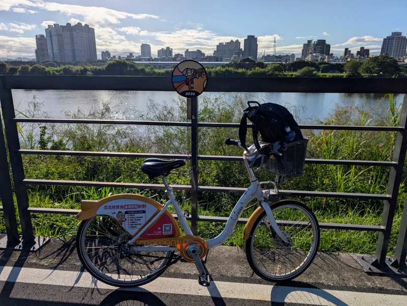
Section 8: 捷運動物園站至捷運關渡站 Taipei Zoo MRT Station to Guandu MRT Station by bicycle along the Taipei Riverside Bike Path: Monday, October 19, 39.8 km, minimal elevation gain, mostly flat and a wonderful way to end the TGT, cycling along the river back to the start point.

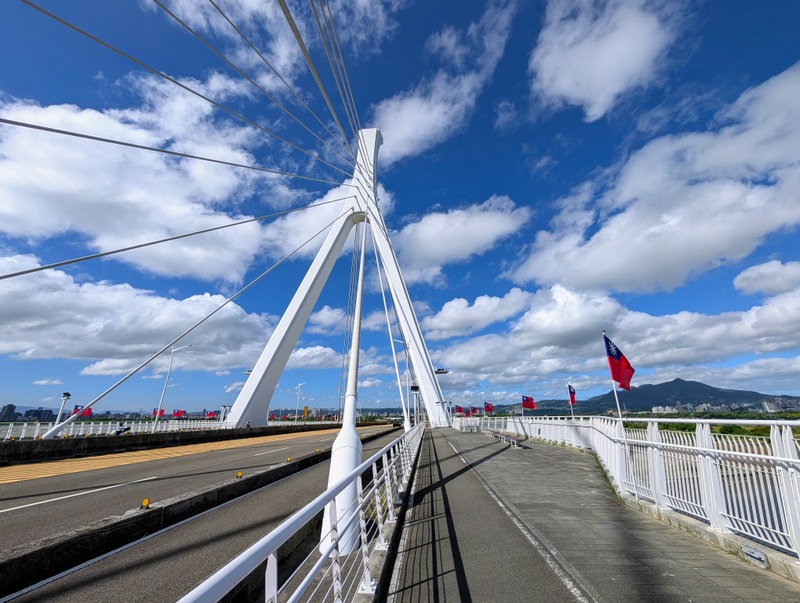
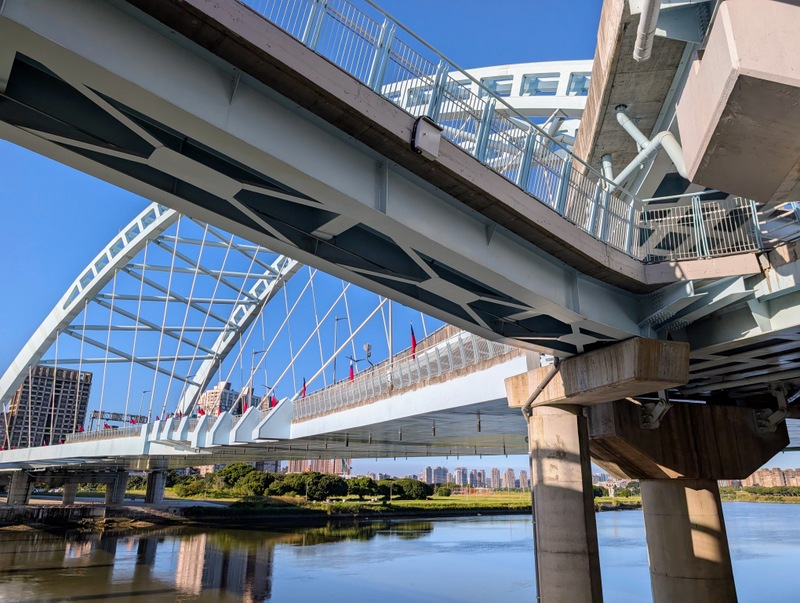
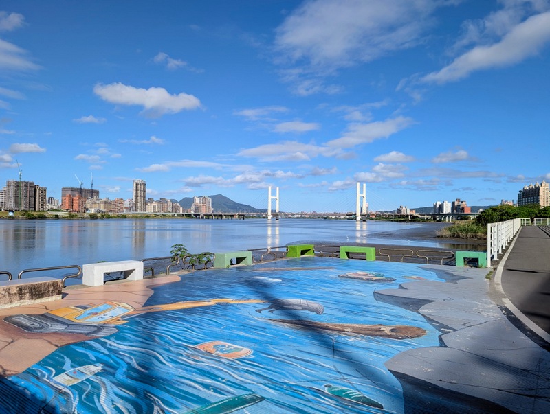
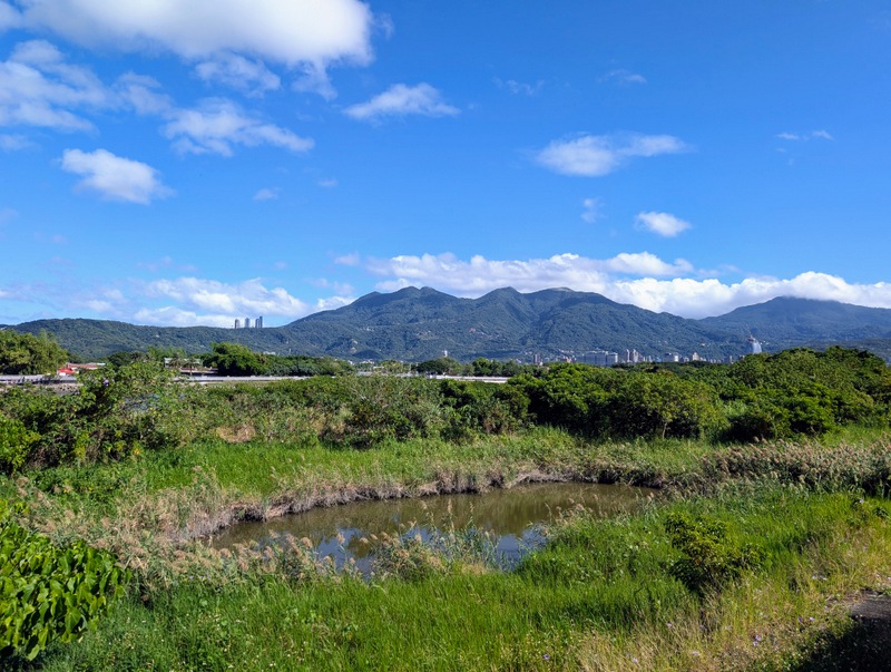
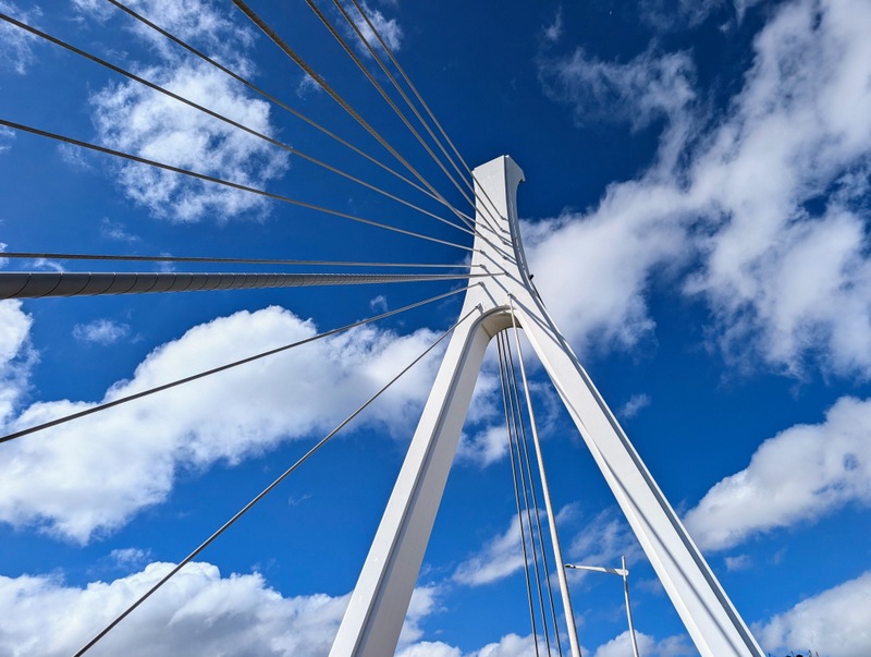
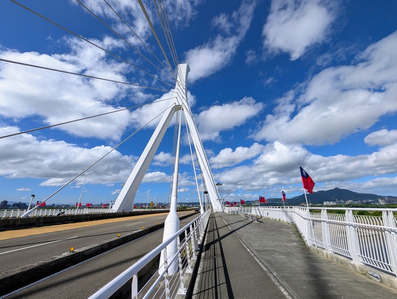
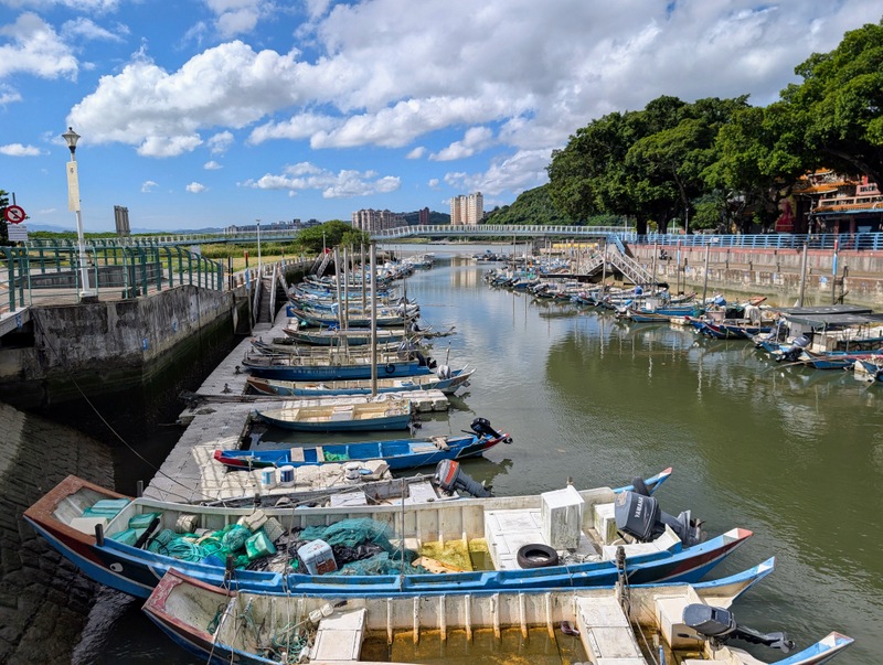
It was very hot at 6:20 am when I started out on the ubike from the Taipei Zoo MRT Station, and it only got hotter as the morning went on, but this section only took 3.5 hours, so by 10:00 am I was all finished. There are always a lot of walkers and cyclists out early in the morning on the riverside paths, especially on a weekend, so be warned. Also, there’s no shade, so go prepared! The route goes past Machangding, which has a sordid history as an execution ground during the martial law era and is now a memorial park, then onwards to Dadaocheng, the old port and trading centre of Taipei. At Shezi Bridge, all the flags made for a colourful sight, and the scenery over towards Yangmingshan was stunning. And so to Guandu. On completing the whole trail, at that moment, the app invites you to write your name for a certificate (3 Chinese characters or 10 English letters only) – they will post it out. Watch this space!
Total walking, Sections 1-7: 90.5 km, 4,739 m. Total cycling, Section 8: 39.8 km. Grand total: 130.3 km. And all well worth it! A great project for the autumn, and fortunately all now completed. I’m posting this a few days later, Friday, October 23, and we have an unexpected extra day off, with work and school cancelled over most of Taiwan for a typhoon. Typhoon Champi has arrived, bringing heavy rains and winds, which will make some of those TGT trails a big sea of mud for the next few weeks. Also, TGT Section 3 is about to undergo some big repairs, so there will be changes to the route. But the Taipei Grand Trail is well worth doing, at least once a year. If you haven’t done it yet, make a plan, and once this typhoon is over, get outside and do it!